
File:Rangitoto Island And Motutapu Island.jpg
Size of this preview: 800 × 480 pixels. Other resolutions: 320 × 192 pixels | 1,024 × 614 pixels | 1,280 × 768 pixels | 2,000 × 1,200 pixels.
Original file (2,000 × 1,200 pixels, file size: 1.09 MB, MIME type: image/jpeg)
| This is a file from the Wikimedia Commons. Information from its description page there is shown below. Commons is a freely licensed media file repository. You can help. |
Summary
| Description |
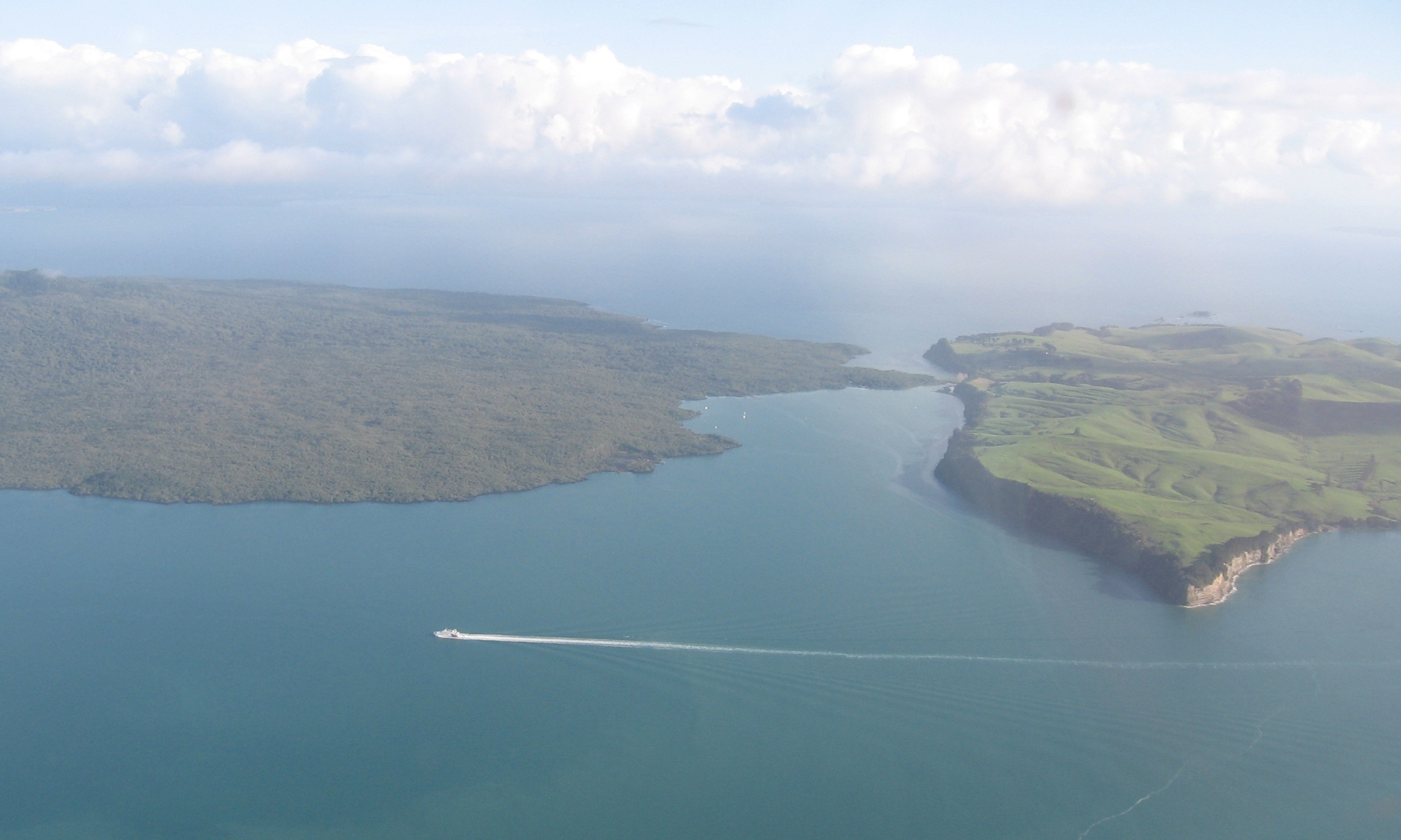
English: Looking north and west over where Rangitoto Island and Motutapu Island meet in the Hauraki Gulf, New Zealand. |
| Date | |
| Source | Self-photographed |
| Author | Ingolfson |
| Camera location | | View this and other nearby images on: OpenStreetMap |
|---|
Licensing
| I, the copyright holder of this work, release this work into the public domain. This applies worldwide. In some countries this may not be legally possible; if so: I grant anyone the right to use this work for any purpose, without any conditions, unless such conditions are required by law. |
File history
Click on a date/time to view the file as it appeared at that time.
| Date/Time | Thumbnail | Dimensions | User | Comment | |
|---|---|---|---|---|---|
| current | 09:49, 23 April 2011 | | 2,000 × 1,200 (1.09 MB) | Ingolfson | == {{int:filedesc}} == {{Information |Description={{en|Something in Auckland, New Zealand.}} |Source={{own}} (Own picture). |Date=2010 |Author=Uploader. |Permission= |other_versions=None. }} {{locatio |
File usage
The following pages on the English Wikipedia use this file (pages on other projects are not listed):
Global file usage
The following other wikis use this file:
- Usage on az.wikipedia.org
- Usage on ca.wikipedia.org
- Usage on ceb.wikipedia.org
- Usage on en.wikivoyage.org
- Usage on es.wikipedia.org
- Usage on fi.wikipedia.org
- Usage on ja.wikipedia.org
- Usage on pl.wikipedia.org
- Usage on www.wikidata.org