
File:Uitzicht Banholtergrubbe.JPG

Size of this preview: 800 × 600 pixels. Other resolutions: 320 × 240 pixels | 640 × 480 pixels | 1,024 × 768 pixels | 1,280 × 960 pixels | 2,560 × 1,920 pixels | 4,000 × 3,000 pixels.
Original file (4,000 × 3,000 pixels, file size: 4.82 MB, MIME type: image/jpeg)
| This is a file from the Wikimedia Commons. Information from its description page there is shown below. Commons is a freely licensed media file repository. You can help. |
Summary
| Description |
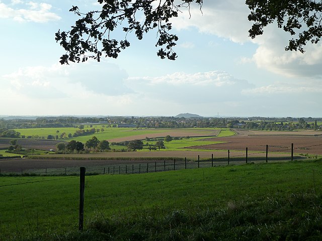
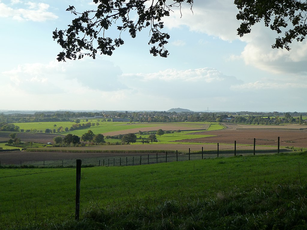
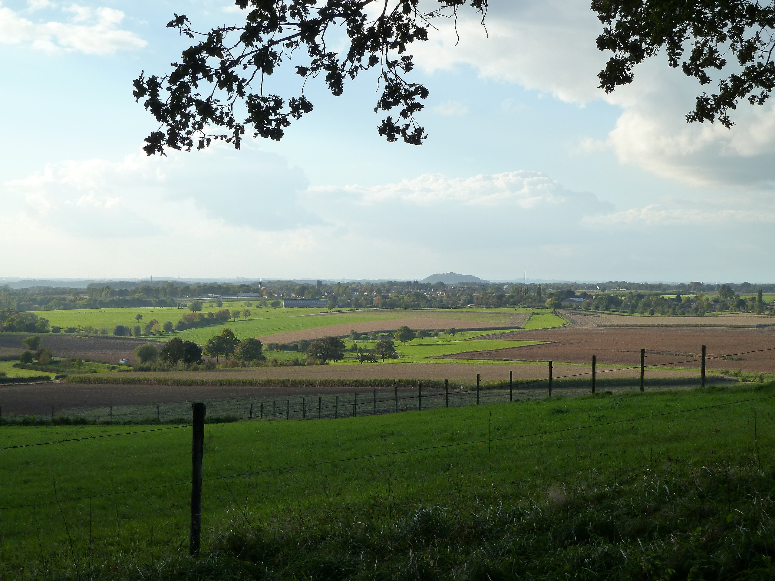
English: View from the Banholtergrubbe, Banholt/Mheer, Limburg, the Netherlands
Nederlands: Uitzicht vanaf de Banholtergrubbe, Banholt/Mheer, Limburg, Nederland |
| Date | |
| Source | Own work |
| Author | Romaine |
| Camera location | | View this and other nearby images on: OpenStreetMap |
|---|
Licensing
| This file is made available under the Creative Commons CC0 1.0 Universal Public Domain Dedication. | |
| The person who associated a work with this deed has dedicated the work to the public domain by waiving all of their rights to the work worldwide under copyright law, including all related and neighboring rights, to the extent allowed by law. You can copy, modify, distribute and perform the work, even for commercial purposes, all without asking permission.
|
File history
Click on a date/time to view the file as it appeared at that time.
| Date/Time | Thumbnail | Dimensions | User | Comment | |
|---|---|---|---|---|---|
| current | 03:03, 1 November 2010 | | 4,000 × 3,000 (4.82 MB) | Romaine | {{Information |Description={{en|1=View from the Banholtergrubbe, Banholt/Mheer, Limburg, the Netherlands}} {{nl|1=Uitzicht vanaf de Banholtergrubbe, Banholt/Mheer, Limburg, Nederland}} |Source={{own}} |Author=Romaine |Date=2010-10-19 |Per |
File usage
The following pages on the English Wikipedia use this file (pages on other projects are not listed):
Global file usage
The following other wikis use this file:
- Usage on da.wikipedia.org
- Usage on nds-nl.wikipedia.org
- Usage on nl.wikipedia.org