
File:Yangtze River Delta.gif
Size of this preview: 489 × 600 pixels. Other resolutions: 196 × 240 pixels | 391 × 480 pixels | 891 × 1,093 pixels.
Original file (891 × 1,093 pixels, file size: 37 KB, MIME type: image/gif)
| This is a file from the Wikimedia Commons. Information from its description page there is shown below. Commons is a freely licensed media file repository. You can help. |
Summary
| Description |
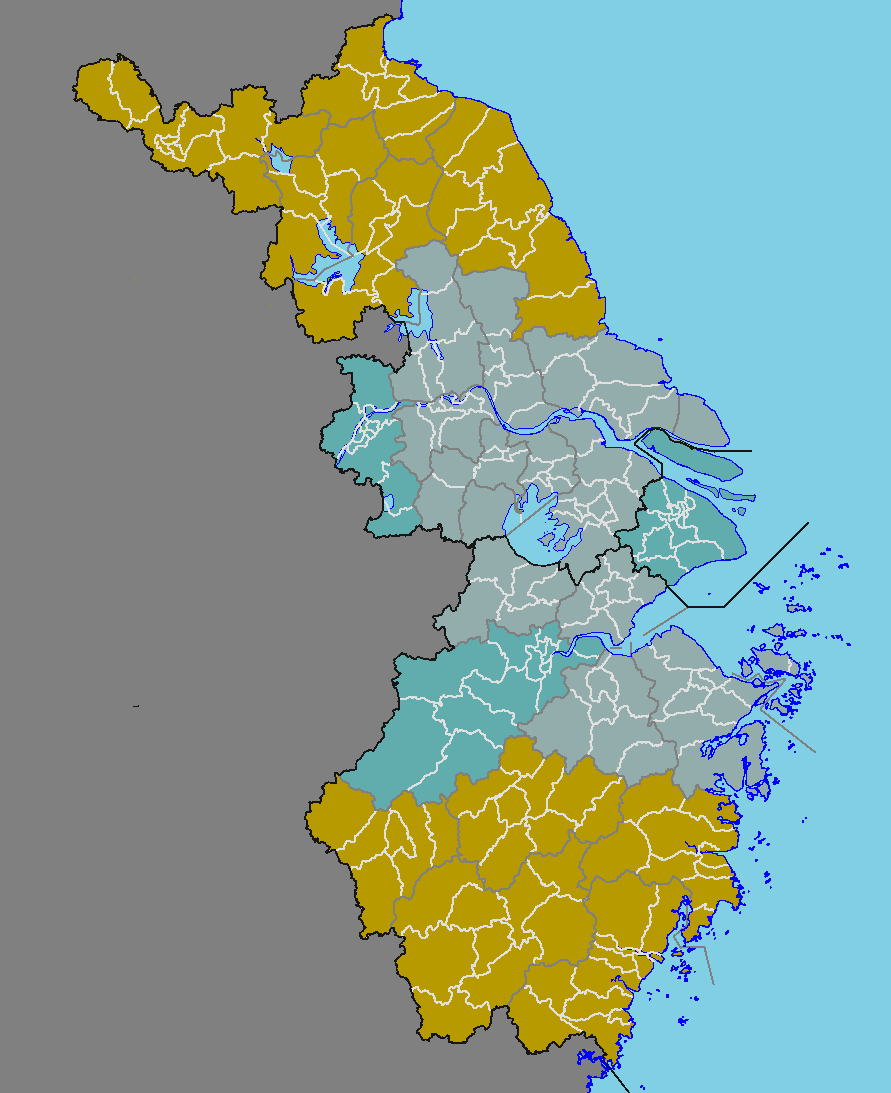
English: map of the Yangtze River, China
中文(中国大陆):长江三角洲地图 |
| Date |
English: File uploaded: August 3, 2022
English: Original uploaded: June 2, 2009 |
| Source | File:China prefectural-level divisions and administrative divisions (PRoC claim).png |
| Author |
|
.png)
Licensing
I, the copyright holder of this work, hereby publish it under the following licenses:

|
Permission is granted to copy, distribute and/or modify this document under the terms of the GNU Free Documentation License, Version 1.2 or any later version published by the Free Software Foundation; with no Invariant Sections, no Front-Cover Texts, and no Back-Cover Texts. A copy of the license is included in the section entitled GNU Free Documentation License. |
| This file is licensed under the Creative Commons Attribution-Share Alike 3.0 Unported license. | ||
| ||
| This licensing tag was added to this file as part of the GFDL licensing update. |
| Copyleft: This work of art is free; you can redistribute it and/or modify it according to terms of the Free Art License. You will find a specimen of this license on the Copyleft Attitude site as well as on other sites. |
You may select the license of your choice.
| Annotations | This image is annotated: View the annotations at Commons |
File history
Click on a date/time to view the file as it appeared at that time.
| Date/Time | Thumbnail | Dimensions | User | Comment | |
|---|---|---|---|---|---|
| current | 23:42, 2 August 2022 | | 891 × 1,093 (37 KB) | Maanshen | New version as of File:China prefectural-level divisions and administrative divisions (PRoC claim).png and File:China county-level divisions and administrative divisions (PRoC claim).png |
| 06:26, 2 June 2009 |  | 371 × 470 (10 KB) | Cncs wikipedia | {{Information |Description={{en|1=Geography of Guangdong, China}} {{zh-cn|1=重庆市行政区划图}} |Source=自制 |Author=cncs wikipedia |Date=2009年6月2日 |Permission= |other_versions= }} <!--{{ImageUpload|full}}--> == [[Commons:Copyright tags|Li |
.png)
.png)
File usage
The following pages on the English Wikipedia use this file (pages on other projects are not listed):
Global file usage
The following other wikis use this file:
- Usage on be-tarask.wikipedia.org
- Usage on be.wikipedia.org
- Usage on bn.wikipedia.org
- Usage on el.wikipedia.org
- Usage on eo.wikipedia.org
- Usage on es.wikipedia.org
- Usage on eu.wikipedia.org
- Usage on fa.wikipedia.org
- Usage on fi.wikipedia.org
- Usage on gl.wikipedia.org
- Usage on ja.wikipedia.org
- Usage on no.wikipedia.org
- Usage on sh.wikipedia.org
- Usage on sr.wikipedia.org
- Usage on uk.wikipedia.org
- Usage on www.wikidata.org