
Gilliat, Queensland
| Gilliat Queensland | |
|---|---|
 Gilliat | |
| Coordinates | 20°41′12″S 141°30′04″E / 20.6866°S 141.5011°E |
| Postcode(s) | 4823 |
| LGA(s) | Shire of Mckinlay |
| State electorate(s) | Traeger |
| Federal division(s) | Kennedy |
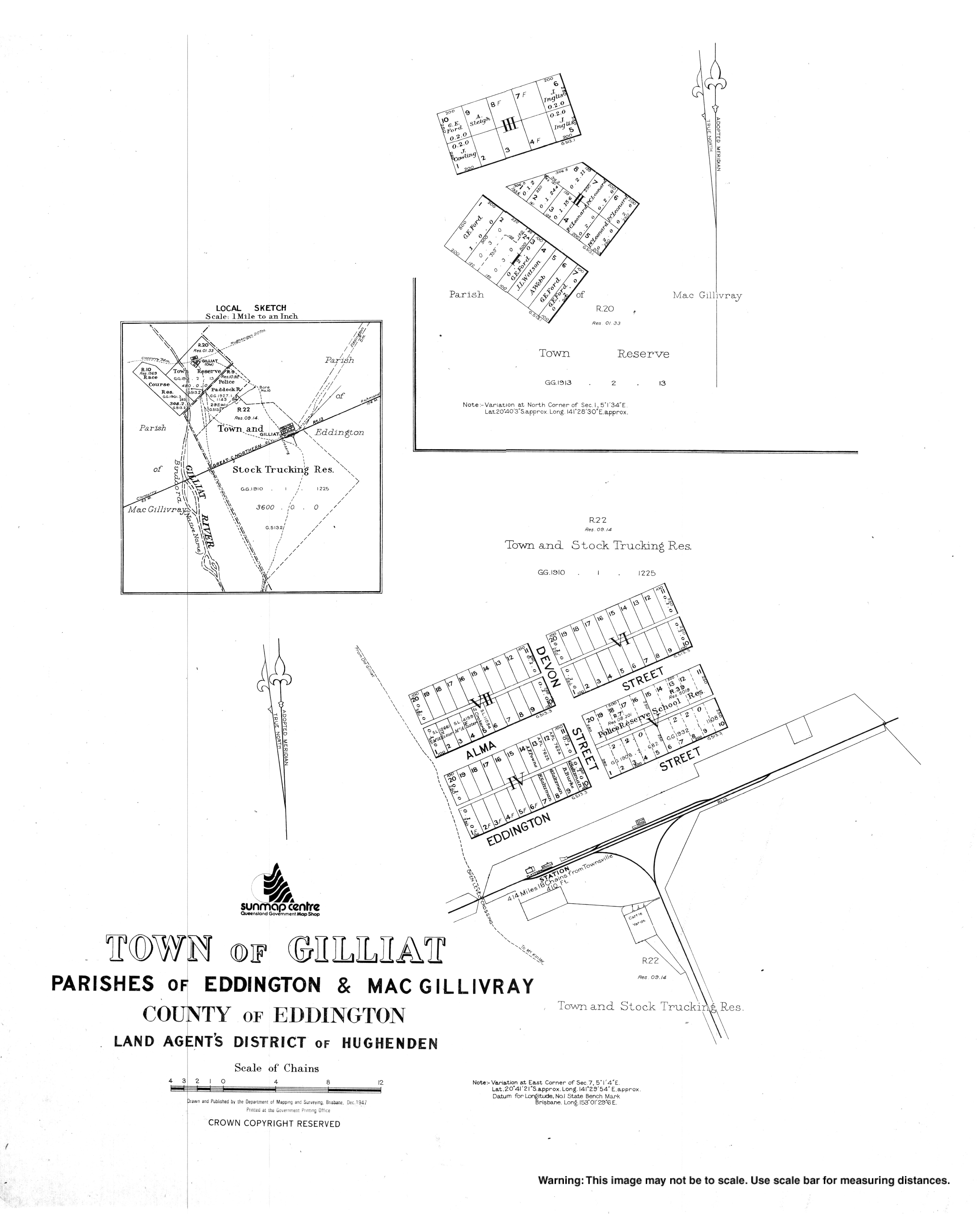
Gilliat is a town in the locality of Julia Creek in the Shire of Mckinlay, Queensland, Australia.[1]
History
The town of Gilliat is shown on 1907 survey plan.[1]
References
- ^ a b "Gilliat – town in Shire of Mckinlay (entry 13769)". Queensland Place Names. Queensland Government. Retrieved 30 December 2017.