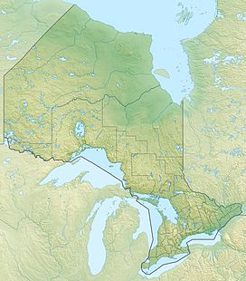
High Rock (Ontario)
| High Rock | |
|---|---|
| Highest point | |
| Elevation | 371 m (1,217 ft)[1] |
| Coordinates | 46°55′34.17″N 80°01′54.68″W / 46.9261583°N 80.0318556°W |
| Geography | |
| Location | Lake Temagami |
| Parent range | Canadian Shield, unnamed range |
| Topo map | NTS 41I16 Lake Temagami |
High Rock is a hill in Nipissing District of Northeastern Ontario, Canada, located 24 km (15 mi) southwest of the village of Temagami. The highest point on High Rock Island, it is one of many scenic viewpoints on Lake Temagami.
High Rock, along with Devil Mountain and Maple Mountain, is considered sacred to the Temagami First Nation.
References[edit]
- ^ "CLAIMaps IV". Ontario Ministry of Northern Development and Mines. 2016. Retrieved 2018-01-14.

