
Horton, Queensland
| Horton Queensland | |||||||||||||||
|---|---|---|---|---|---|---|---|---|---|---|---|---|---|---|---|
 Horton | |||||||||||||||
| Coordinates | 25°13′34″S 152°19′11″E / 25.2261°S 152.3197°E | ||||||||||||||
| Population | 158 (2016 census)[1] | ||||||||||||||
| • Density | 10.60/km2 (27.46/sq mi) | ||||||||||||||
| Postcode(s) | 4660 | ||||||||||||||
| Area | 14.9 km2 (5.8 sq mi) | ||||||||||||||
| Time zone | AEST (UTC+10:00) | ||||||||||||||
| Location |
| ||||||||||||||
| LGA(s) | Bundaberg Region | ||||||||||||||
| State electorate(s) | Burnett | ||||||||||||||
| Federal division(s) | Hinkler | ||||||||||||||
| |||||||||||||||
Horton is a rural town and locality in the Bundaberg Region, Queensland, Australia.[2][3] In the 2016 census, the locality of Horton had a population of 158 people.[1]
Geography[edit]
The Bruce Highway forms the southern boundary of the locality.[4]
History[edit]
The town was possibly named after sugar planter George Horton.[2][3]
A Methodist Church was opened in Horton in 1886. Due to the decline of the Horton township the church was subsequently[when?] moved to Childers. It became the Childers Uniting Church in June 1977 following the amalgamation of the Methodist Church into the Uniting Church in Australia in 1977. It is now listed on the Bundaberg Heritage Register.[5]
The first section of the Isis railway line branched from the North Coast railway line at Goodwood. It opened to Childers on 31 October 1887 with intermediate stations at Bootharh, Horton and Doolbi.[6] Horton railway station was at 25°13′30″S 152°18′54″E / 25.2249°S 152.3150°E and has been dismantled.[7] The line closed in 1964.
Horton State School opened about 1888. In 1900, it was renamed Doolbi State School. The school closed in 1953.[8] It was at 204 Goodwood Road,[9] now the site of the clubhouse of the Isis Golf Club in neighbouring Doolbi.[10]
In the 2016 census, the locality of Horton had a population of 158 people.[1]
Education[edit]
There are no schools in Horton. The nearest government primary school is Childers State School in Childers to the west. The nearest government secondary school is Isis District State High School, also in Childers.[4]
References[edit]
- ^ a b c Australian Bureau of Statistics (27 June 2017). "Horton (SSC)". 2016 Census QuickStats. Retrieved 20 October 2018.
- ^ a b "Horton – town in Bundaberg Region (entry 16326)". Queensland Place Names. Queensland Government. Retrieved 6 March 2022.
- ^ a b "Horton – locality in Bundaberg Region (entry 44728)". Queensland Place Names. Queensland Government. Retrieved 6 March 2022.
- ^ a b "Queensland Globe". State of Queensland. Retrieved 21 June 2022.
- ^ "Planning Scheme Policy for Heritage and Neighbourhood Character" (PDF). Bundaberg Regional Council. 2015. pp. 94–95. Archived (PDF) from the original on 16 March 2021. Retrieved 7 September 2021.
- ^ Kerr, John (1990). Triumph of narrow gauge : a history of Queensland Railways. Boolarong Publications. p. 224-225. ISBN 978-0-86439-102-5.
- ^ "Railway stations and sidings - Queensland". Queensland Open Data. Queensland Government. 2 October 2020. Archived from the original on 5 October 2020. Retrieved 5 October 2020.
- ^ Queensland Family History Society (2010), Queensland schools past and present (Version 1.01 ed.), Queensland Family History Society, ISBN 978-1-921171-26-0
- ^ "Cordalba" (Map). Queensland Government. 1943. Archived from the original on 21 June 2022. Retrieved 21 June 2022.
- ^ "History of the club". Isis Golf Club. Archived from the original on 16 March 2022. Retrieved 21 June 2022.
External links[edit]
- "Horton". Queensland Places. Centre for the Government of Queensland, University of Queensland.
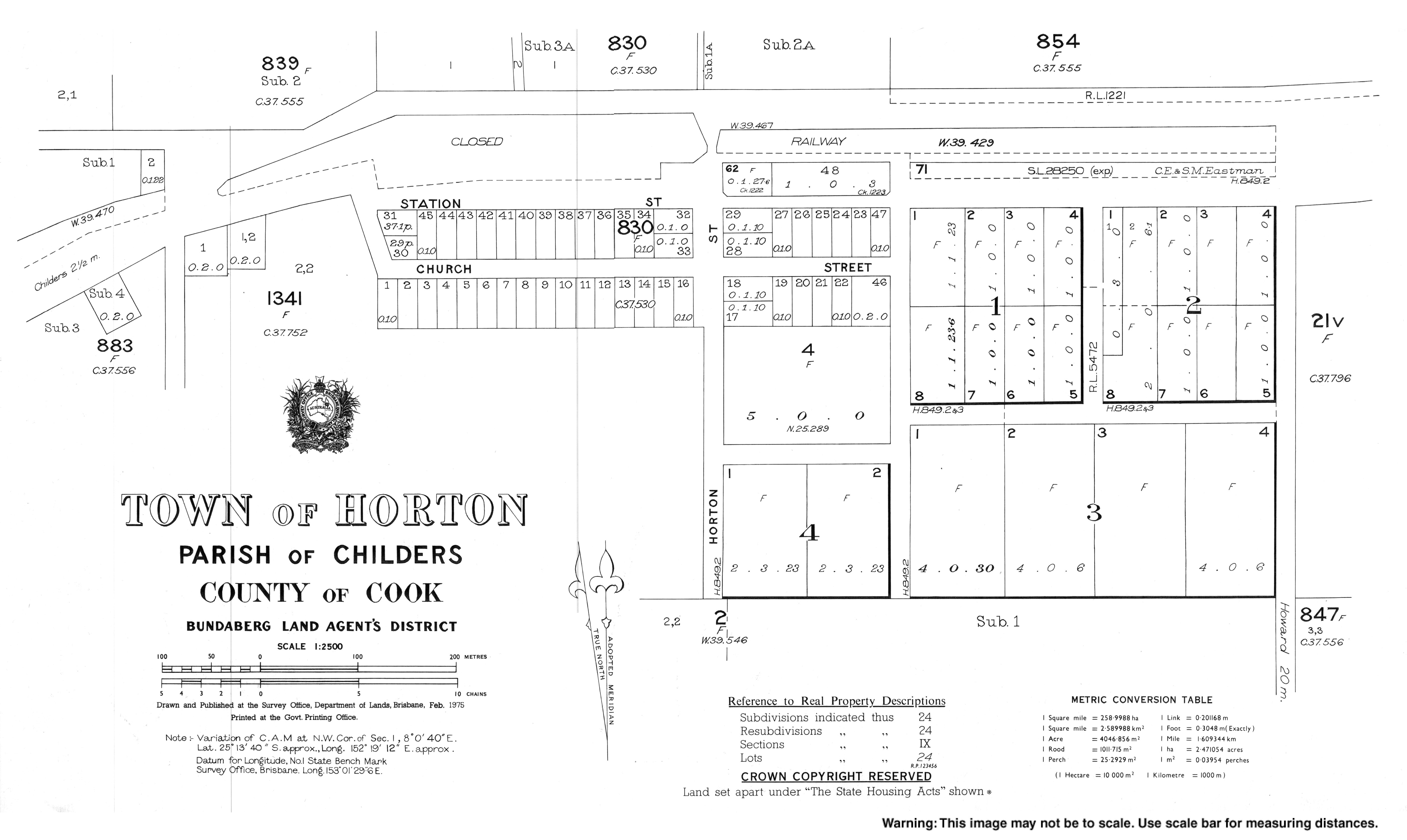
- Town map of Horton, 1975