Knersvlakte Nature Reserve
Appearance
| Knersvlakte Nature Reserve | |
|---|---|
| Location | Matzikama Municipality, Western Cape, South Africa |
| Nearest town | Vredendal |
| Coordinates | 31°20′S 18°40′E / 31.333°S 18.667°E |
| Area | 855 km2 (330 sq mi) |
| Established | 9 September 2014 |
| Governing body | CapeNature |
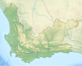
The Knersvlakte Nature Reserve is a nature reserve in the Knersvlakte region of South Africa's Western Cape province. It covers an area of 855 square kilometres (330 sq mi)[1] in the Matzikama Municipality, north of Vredendal and Vanrhynsdorp. The reserve, which was established on 24 September 2014, is owned by the South African branch of the World Wide Fund for Nature and managed by provincial conservation agency CapeNature.[2]
References
- ^ "Knersvlakte Nature Reserve proclaimed in vital biodiversity hotspot". CapeNature. 24 September 2014. Retrieved 25 September 2014.
- ^ McDonald, Dane (24 September 2014). "New 85 000ha reserve proclaimed in Western Cape". News24. Retrieved 25 September 2014.

