Vorotan (river)
| Vorotan | |
|---|---|
 | |
| Physical characteristics | |
| Length | 178 km |

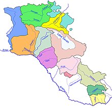
Vorotan (Armenian: Որոտան, Azerbaijani: Bazarçay) is a river in Transcaucasia, a left tributary of the Araks River. It rises in the northern part of the South-Armenian province of Syunik, flows for 119 km in a generally southeastern direction through Armenia and then for another 59 km through Nagorno-Karabakh, the region claimed by both Armenia and Azerbaijan, before emptying into the Araks at the border with Iran. The river flows mostly through mountainous country and in several places through deep canyons. The towns of Sisian and Kubatly lie along its course. During the Soviet period, three reservoirs with adjoining hydro-power stations were constructed along its course.
In an attempt to increase the volume of water in Lake Sevan, a 22 km tunnel has been constructed to take water from the Vorotan to the lake. Begun during the time in the 1980s, work had to be stopped in 1988, when only 18 km had been completed, because of the armed conflict between Azerbaijan and Armenia over the Nagorno-Karabakh region. The Armenian government finally completed the Vorotan tunnel in 2003, but water has not yet begun to flow into the lake.
