Abrahámsky Park
Appearance
| Abrahámsky park | |
|---|---|
| Park Abrahám | |
IUCN category IV (habitat/species management area)[1] | |
| Area | 0.11 km²[2] |
| Established | 1983 |
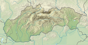
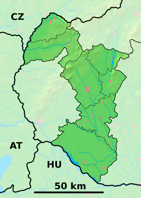
Abrahámsky Park is a nature reserve in the Slovak municipality of Abrahám. It covers an area of 10.85 ha and has a protection level of 4.
History
[edit]The park was created during the nineteenth century, when the floodplain forest along the Dudváh river was transformed into parkland surrounding the castle, which was used a sanatorium. The park is directly adjacent to the forest complex of Časlov.[2]
Flora
[edit]The park consists mostly of deciduous trees, of which oak is the most abundant.[2]
References
[edit]- ^ Protected Area Profile for Abrahamsky park Protected Site / Private Protected Site Archived February 9, 2024, at the Wayback Machine from the World Database on Protected Areas. Retrieved February 9, 2024.
- ^ a b c Štátny zoznam osobitne chránených častí prírody SR Archived June 30, 2020, at the Wayback Machine (in Slovak)
48°14′38″N 17°38′03″E / 48.2439°N 17.6342°E


