
File:2008 03 28 - I70 Cable Barrier.JPG

Size of this preview: 800 × 454 pixels. Other resolutions: 320 × 182 pixels | 640 × 363 pixels | 1,024 × 581 pixels | 1,280 × 726 pixels | 2,560 × 1,452 pixels | 3,948 × 2,240 pixels.
Original file (3,948 × 2,240 pixels, file size: 3.85 MB, MIME type: image/jpeg)
| This is a file from the Wikimedia Commons. Information from its description page there is shown below. Commons is a freely licensed media file repository. You can help. |
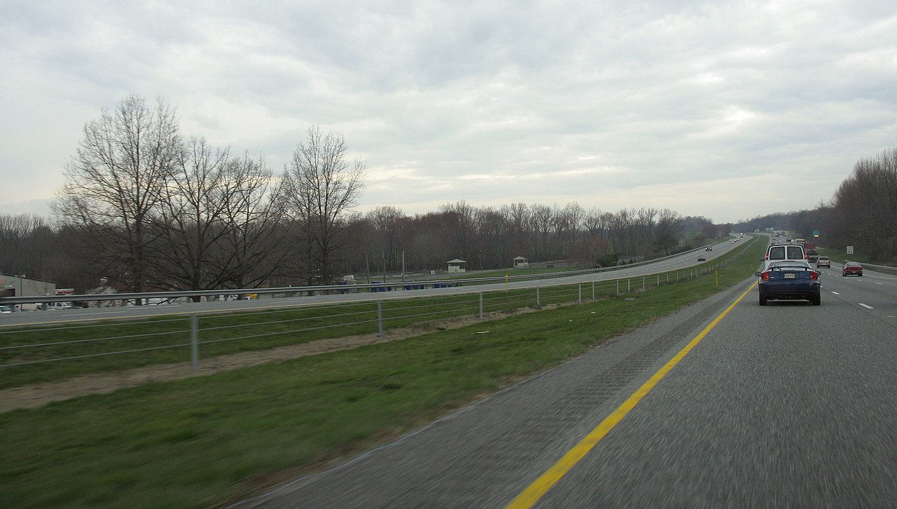
| Description | Cable median barrier along I-70 near West Friendship, Maryland |
| Date | |
| Source | Own work |
| Author | Thisisbossi |
| Permission (Reusing this file) |
Own work, all rights released (Public domain) |
| Camera location | | View this and other nearby images on: OpenStreetMap |
|---|
| I, the copyright holder of this work, release this work into the public domain. This applies worldwide. In some countries this may not be legally possible; if so: I grant anyone the right to use this work for any purpose, without any conditions, unless such conditions are required by law. |
File history
Click on a date/time to view the file as it appeared at that time.
| Date/Time | Thumbnail | Dimensions | User | Comment | |
|---|---|---|---|---|---|
| current | 09:23, 26 January 2011 | | 3,948 × 2,240 (3.85 MB) | Ingolfson | +10 Brightness, +20 Gamma correction, to provide an image that is easier to read even at lesser resolution / thumbnails. |
| 04:40, 2 April 2008 |  | 3,948 × 2,240 (1.46 MB) | Thisisbossi | {{Information |Description=Cable median barrier along I-70 near West Friendship, Maryland {{Location|39|18|44.3|N|76|57|57.6|W|heading:WbN}} |Source=Own work. |Date=2008-03-28 |Author=Thisisbossi |Permission=Own work, all rights relea |
File usage
No pages on the English Wikipedia use this file (pages on other projects are not listed).
Global file usage
The following other wikis use this file:
- Usage on de.wikipedia.org