
File:CarteIsleMontreal1700.jpg
Size of this preview: 800 × 503 pixels. Other resolutions: 320 × 201 pixels | 640 × 402 pixels | 1,024 × 643 pixels | 1,619 × 1,017 pixels.
Original file (1,619 × 1,017 pixels, file size: 1.45 MB, MIME type: image/jpeg)
| This is a file from the Wikimedia Commons. Information from its description page there is shown below. Commons is a freely licensed media file repository. You can help. |
Summary
| Description |
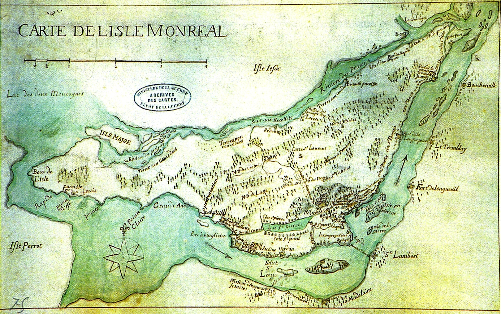
Français : Sur la carte des années 1700, on peut voir, sur le pourtour de l'île et sur la rive sud du fleuve, tous ces forts qui allaient devenir bientôt des bourgs et des villages. |
| Date | |
| Source | Numérisation d'une page du livre : Pour le Christ et le Roi, Yves Landry, Art Global & Libre Expression, Montréal, 1992, p. 177. |
| Author | Travail des sulpiciens |
Licensing
|
This work is in the public domain in its country of origin and other countries and areas where the copyright term is the author's life plus 100 years or fewer. | |
| This file has been identified as being free of known restrictions under copyright law, including all related and neighboring rights. | |
File history
Click on a date/time to view the file as it appeared at that time.
| Date/Time | Thumbnail | Dimensions | User | Comment | |
|---|---|---|---|---|---|
| current | 20:54, 9 November 2008 | | 1,619 × 1,017 (1.45 MB) | Jeangagnon | {{Information |Description={{fr|1=Sur la carte des années 1700, on peut voir, sur le pourtour de l'île et sur la rive sud du fleuve, tous ces forts qui allaient devenir bientôt des bourgs et des villages.}} |Source=Numérisation d'une page du livre : P |
File usage
The following pages on the English Wikipedia use this file (pages on other projects are not listed):
Global file usage
The following other wikis use this file:
- Usage on fr.wikipedia.org
- Usage on ja.wikipedia.org
- Usage on mai.wikipedia.org