
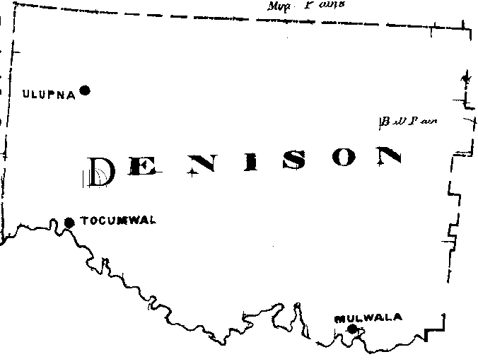
File:Denison County NSW John Sands Map (B&W).png
No higher resolution available.
Denison_County_NSW_John_Sands_Map_(B&W).png (676 × 515 pixels, file size: 4 KB, MIME type: image/png)
| This is a file from the Wikimedia Commons. Information from its description page there is shown below. Commons is a freely licensed media file repository. You can help. |
.png)
Summary
| Description | |
| Date | |
| Source | https://nla.gov.au/nla.obj-231050218/view |
| Author | John Sands (Printer) |
Licensing
|
This work is in the public domain in its country of origin and other countries and areas where the copyright term is the author's life plus 70 years or fewer. This work is in the public domain in the United States because it was published (or registered with the U.S. Copyright Office) before January 1, 1929. | |
| This file has been identified as being free of known restrictions under copyright law, including all related and neighboring rights. | |
- ↑ The New atlas of Australia (John Sands 1886) map 21.
File history
Click on a date/time to view the file as it appeared at that time.
| Date/Time | Thumbnail | Dimensions | User | Comment | |
|---|---|---|---|---|---|
| current | 08:09, 4 May 2018 | | 676 × 515 (4 KB) | D A R C 12345 | User created page with UploadWizard |
File usage
The following pages on the English Wikipedia use this file (pages on other projects are not listed):
.png)