
File:Ferndown, postbox No. BH22 96, Turbary Road - geograph.org.uk - 1345427.jpg
No higher resolution available.
Ferndown,_postbox_No._BH22_96,_Turbary_Road_-_geograph.org.uk_-_1345427.jpg (640 × 480 pixels, file size: 55 KB, MIME type: image/jpeg)
| This is a file from the Wikimedia Commons. Information from its description page there is shown below. Commons is a freely licensed media file repository. You can help. |
Summary
| Description |
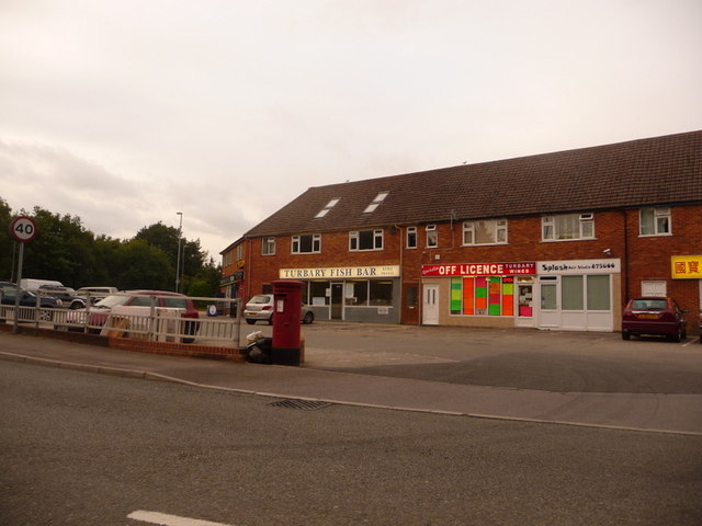
English: Ferndown: postbox № BH22 96, Turbary Road Turbary Road is the access road for a large housing estate which comprises a mix of council housing and desirable bungalows. Here, by the junction with the main road, are shops including a general store (round to the left), fish & chip shop, off licence and (out of picture, right) Chinese takeaway. The postbox, like the three in the estate, is emptied finally at 5:15pm on weekdays and at 12:30pm on Saturdays.
For many years residents of the estate campaigned for a post office, since it's quite a distance into Ferndown town from here but they never got one. |
| Date | |
| Source | From geograph.org.uk |
| Author | Chris Downer |
| Attribution (required by the license) | Chris Downer / Ferndown: postbox № BH22 96, Turbary Road / |
| Camera location | | View this and other nearby images on: OpenStreetMap |
|---|
_heading:67.00&language=en)
| Object location | | View this and other nearby images on: OpenStreetMap |
|---|
_heading:67.00&language=en)
Licensing

|
This image was taken from the Geograph project collection. See this photograph's page on the Geograph website for the photographer's contact details. The copyright on this image is owned by Chris Downer and is licensed for reuse under the Creative Commons Attribution-ShareAlike 2.0 license.
|
This file is licensed under the Creative Commons Attribution-Share Alike 2.0 Generic license.
Attribution: Chris Downer
- You are free:
- to share – to copy, distribute and transmit the work
- to remix – to adapt the work
- Under the following conditions:
- attribution – You must give appropriate credit, provide a link to the license, and indicate if changes were made. You may do so in any reasonable manner, but not in any way that suggests the licensor endorses you or your use.
- share alike – If you remix, transform, or build upon the material, you must distribute your contributions under the same or compatible license as the original.
File history
Click on a date/time to view the file as it appeared at that time.
| Date/Time | Thumbnail | Dimensions | User | Comment | |
|---|---|---|---|---|---|
| current | 04:30, 28 February 2011 | | 640 × 480 (55 KB) | GeographBot | == {{int:filedesc}} == {{Information |description={{en|1=Ferndown: postbox № BH22 96, Turbary Road Turbary Road is the access road for a large housing estate which comprises a mix of council housing and desirable bungalows. Here, by the junction wit |
File usage
The following pages on the English Wikipedia use this file (pages on other projects are not listed):
Global file usage
The following other wikis use this file:
- Usage on cy.wikipedia.org
- Usage on www.wikidata.org