
File:Hillerødmotorvejen N Tingbjerg.JPG

Size of this preview: 800 × 600 pixels. Other resolutions: 320 × 240 pixels | 640 × 480 pixels | 1,024 × 768 pixels | 1,280 × 960 pixels | 2,560 × 1,920 pixels.
Original file (2,560 × 1,920 pixels, file size: 1.14 MB, MIME type: image/jpeg)
| This is a file from the Wikimedia Commons. Information from its description page there is shown below. Commons is a freely licensed media file repository. You can help. |
| Description |
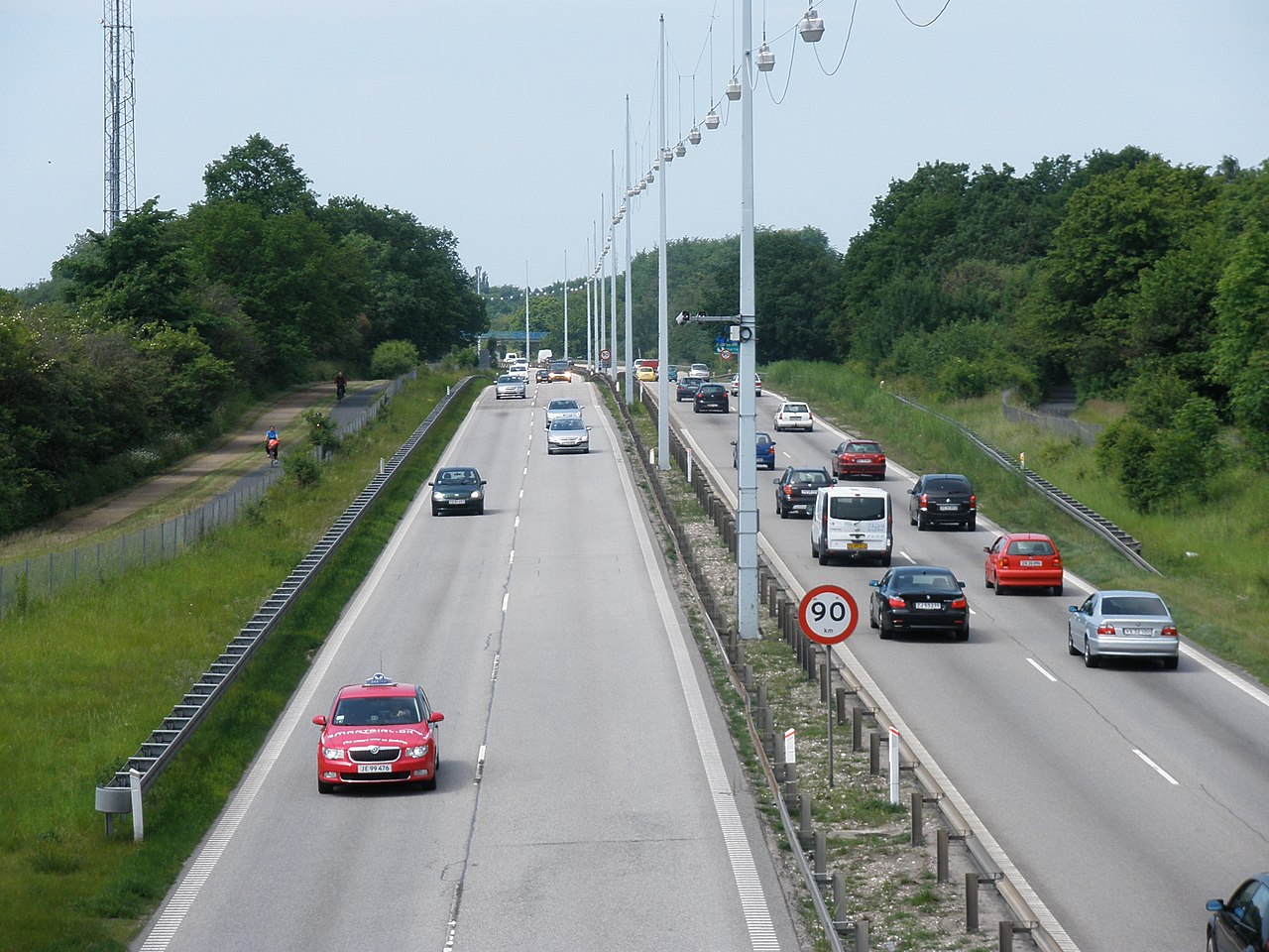
Dansk: Hillerødmotorvejen set i nordvestgående retning fra Høje Gladsaxe Vej (frakørsel 1).
English: The Hillerød motorway seen in northwestern direction from Høje Gladsaxe Vej (exit 1).
|
|||
| Date | ||||
| Source | Own work | |||
| Author | User:EPO | |||
| Permission (Reusing this file) |
|

| Camera location | | View this and other nearby images on: OpenStreetMap |
|---|
File history
Click on a date/time to view the file as it appeared at that time.
| Date/Time | Thumbnail | Dimensions | User | Comment | |
|---|---|---|---|---|---|
| current | 19:59, 5 July 2010 | | 2,560 × 1,920 (1.14 MB) | EPO | {{Information |Description={{da|Hillerødmotorvejen set i nordvestgående retning fra Høje Gladsaxe Vej (frakørsel 1). :Den sydligste del af motorvejen er karakteriseret ved vejbelysning, hastighedsbegrænsning på 90 km/t, intet nødspor og cykelsti i |
File usage
No pages on the English Wikipedia use this file (pages on other projects are not listed).
Global file usage
The following other wikis use this file:
- Usage on www.wikidata.org