
File:Hugh Allan House, Ravenscrag.jpg

Size of this preview: 800 × 449 pixels. Other resolutions: 320 × 180 pixels | 640 × 359 pixels | 1,337 × 750 pixels.
Original file (1,337 × 750 pixels, file size: 177 KB, MIME type: image/jpeg)
| This is a file from the Wikimedia Commons. Information from its description page there is shown below. Commons is a freely licensed media file repository. You can help. |
Summary
| Description |
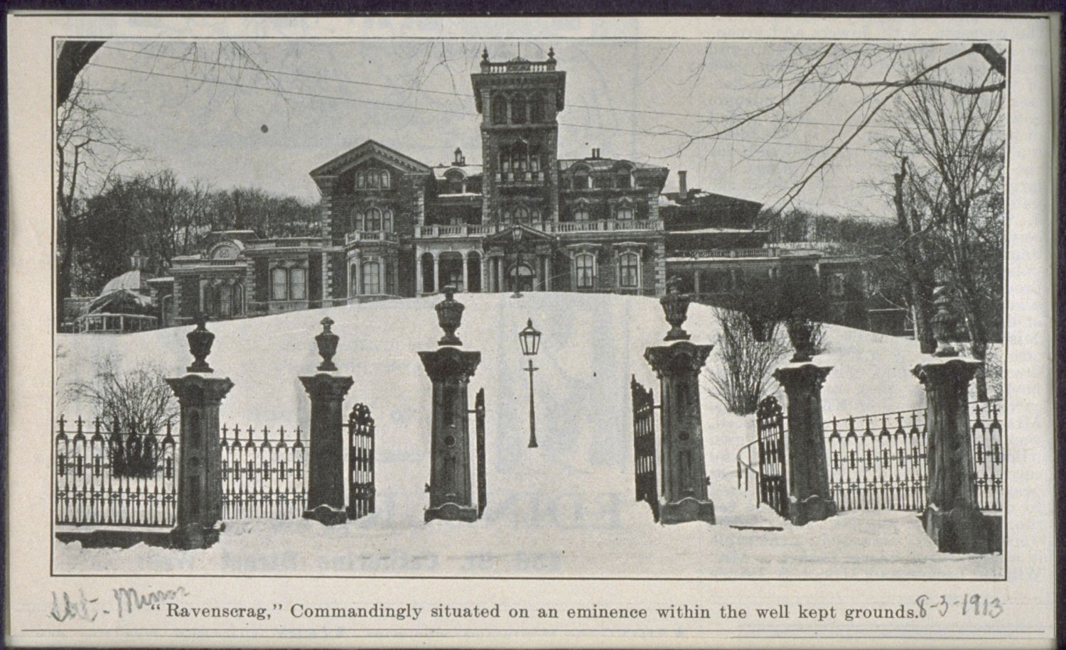
Français : Maison Hugh-Allan, dite Ravenscrag, 835-1025 Avenue des Pins Ouest, Montréal, Québec, Canada. English: Hugh Allan House "Ravenscrag", 835-1025 Pine Avenue West, Montreal, Quebec, Canada. |
|||
| Date | ||||
| Source |
|
|||
| Author | Unknown author |

| Camera location | | View this and other nearby images on: OpenStreetMap |
|---|
Licensing
This Canadian work is in the public domain in Canada because its copyright has expired due to one of the following:
it was not subject to Crown copyright, and
|
 |
This work is in the public domain in the United States because it meets three requirements:
For background information, see the explanations on Non-U.S. copyrights.
Image was public domain in Canada prior to the URAA date |
| Annotations | This image is annotated: View the annotations at Commons |
File history
Click on a date/time to view the file as it appeared at that time.
| Date/Time | Thumbnail | Dimensions | User | Comment | |
|---|---|---|---|---|---|
| current | 06:17, 17 May 2013 | | 1,337 × 750 (177 KB) | Cropbot | upload cropped version, operated by User:Thomas1313. Summary: cropped |
| 06:14, 16 January 2013 |  | 1,500 × 915 (235 KB) | Thomas1313 | User created page with UploadWizard |
File usage
No pages on the English Wikipedia use this file (pages on other projects are not listed).
Global file usage
The following other wikis use this file:
- Usage on fr.wikipedia.org