
File:Interstate H201 map.png

Size of this preview: 800 × 450 pixels. Other resolutions: 320 × 180 pixels | 640 × 360 pixels | 1,024 × 575 pixels | 1,280 × 719 pixels | 2,205 × 1,239 pixels.
Original file (2,205 × 1,239 pixels, file size: 66 KB, MIME type: image/png)
| This is a file from the Wikimedia Commons. Information from its description page there is shown below. Commons is a freely licensed media file repository. You can help. |
Summary
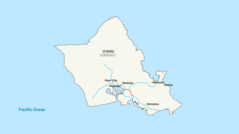
| Description | Map of Interstate H2 |
| Date | |
| Source | Modified work from another author |
| Author | Nick Nolte |
| Permission (Reusing this file) |
Base map from another author |
Licensing
| I, the copyright holder of this work, release this work into the public domain. This applies worldwide. In some countries this may not be legally possible; if so: I grant anyone the right to use this work for any purpose, without any conditions, unless such conditions are required by law. |
File history
Click on a date/time to view the file as it appeared at that time.
| Date/Time | Thumbnail | Dimensions | User | Comment | |
|---|---|---|---|---|---|
| current | 17:24, 7 October 2007 | | 2,205 × 1,239 (66 KB) | Artisol2345~commonswiki | |
| 17:19, 7 October 2007 |  | 2,205 × 1,239 (66 KB) | Artisol2345~commonswiki | ||
| 17:14, 7 October 2007 |  | 2,205 × 1,239 (66 KB) | Artisol2345~commonswiki | {{Information |Description=Map of Interstate H2 |Source=Modified work from another author |Date=October 7, 2007 |Author=Nick Nolte |Permission=Base map from another author |other_versions= }} |
File usage
No pages on the English Wikipedia use this file (pages on other projects are not listed).
Global file usage
The following other wikis use this file:
- Usage on de.wikipedia.org
- Usage on es.wikipedia.org
- Usage on fr.wikipedia.org
- Usage on simple.wikipedia.org
- Usage on www.wikidata.org