
File:Kraik hulczyński.PNG
No higher resolution available.
Kraik_hulczyński.PNG (621 × 461 pixels, file size: 9 KB, MIME type: image/png)
| This is a file from the Wikimedia Commons. Information from its description page there is shown below. Commons is a freely licensed media file repository. You can help. |

|
This locator map image could be re-created using vector graphics as an SVG file. This has several advantages; see Commons:Media for cleanup for more information. If an SVG form of this image is available, please upload it and afterwards replace this template with
{{vector version available|new image name}}.
It is recommended to name the SVG file “Kraik hulczyński.svg”—then the template Vector version available (or Vva) does not need the new image name parameter. |
| Description |
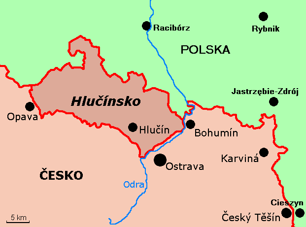
English: Map of region of Hulczyn in Czech Republic Čeština: Poloha Hlučínska v rámci Česka |
||
| Date | |||
| Source | Own work | ||
| Author | Mix321 | ||
| Permission (Reusing this file) |
I, the copyright holder of this work, hereby publish it under the following license:
|
||
| Other versions |
|


File history
Click on a date/time to view the file as it appeared at that time.
| Date/Time | Thumbnail | Dimensions | User | Comment | |
|---|---|---|---|---|---|
| current | 10:21, 25 May 2017 | | 621 × 461 (9 KB) | NordNordWest | scale |
| 11:51, 15 October 2011 |  | 621 × 461 (12 KB) | Yarp | Translation of Czech cities' and lands' names into Czech language. Added Odra river caption. | |
| 09:36, 7 January 2010 |  | 621 × 461 (19 KB) | Mix321 | {{Information |Description={{en|1=Map of region of Hulczyn in Czech Republic}} |Source={{own}} |Author=Mix321 |Date=2010.I.7 |Permission={{GFDL-self}} |other_versions= }} Category:Maps of the Czech Republic [[Category:Maps of Silesia] |
File usage
No pages on the English Wikipedia use this file (pages on other projects are not listed).
Global file usage
The following other wikis use this file:
- Usage on cs.wikipedia.org
- Usage on de.wikipedia.org
- Usage on eo.wikipedia.org
- Usage on fr.wikipedia.org
- Usage on nl.wikipedia.org
- Usage on no.wikipedia.org
- Usage on pl.wikipedia.org
- Usage on ro.wikipedia.org
- Usage on ru.wikipedia.org