
File:Map-DR-Luebeck.png

Size of this preview: 723 × 600 pixels. Other resolutions: 289 × 240 pixels | 579 × 480 pixels | 926 × 768 pixels | 1,235 × 1,024 pixels | 1,741 × 1,444 pixels.
Original file (1,741 × 1,444 pixels, file size: 64 KB, MIME type: image/png)
| This is a file from the Wikimedia Commons. Information from its description page there is shown below. Commons is a freely licensed media file repository. You can help. |
| Description |
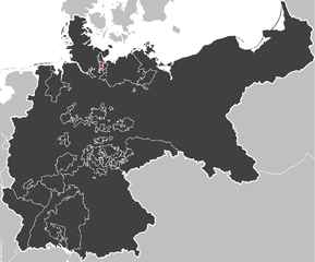
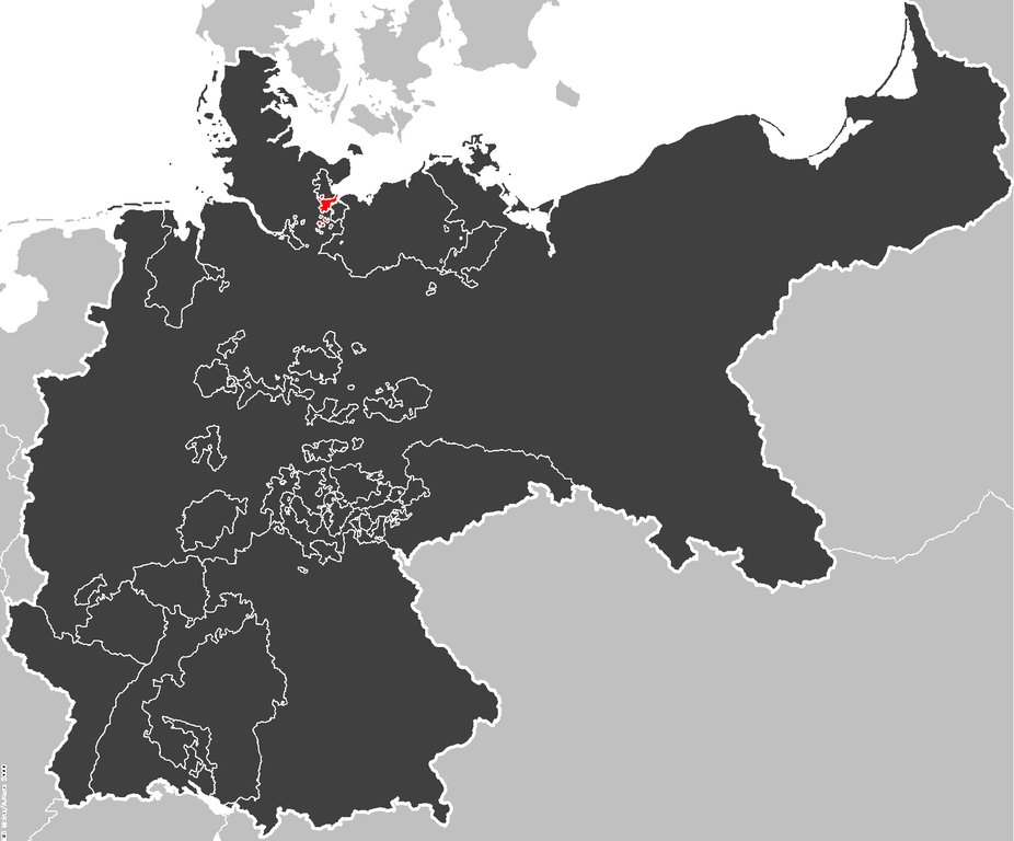
English: The Free City of Lübeck within the Deutsches Kaiserreich; Map data of the IEG-Maps project by Andreas Kunz, B. Johnen and Joachim Robert Moeschl of the University of Mainz. |
||
| Source | http://www.ieg-maps.uni-mainz.de | ||
| Author |
|
||
| Other versions | based on nl:Afbeelding:KRElzasL.png by nl:Gebruiker:Känsterle |

Summary == Licensing ==

|
Permission is granted to copy, distribute and/or modify this document under the terms of the GNU Free Documentation License, Version 1.2 or any later version published by the Free Software Foundation; with no Invariant Sections, no Front-Cover Texts, and no Back-Cover Texts. A copy of the license is included in the section entitled GNU Free Documentation License. |
| This file is licensed under the Creative Commons Attribution-Share Alike 3.0 Unported license. | ||
| ||
| This licensing tag was added to this file as part of the GFDL licensing update. |
File history
Click on a date/time to view the file as it appeared at that time.
| Date/Time | Thumbnail | Dimensions | User | Comment | |
|---|---|---|---|---|---|
| current | 22:44, 22 December 2006 | | 1,741 × 1,444 (64 KB) | Electionworld | {{ew|en|52 Pickup}} == Summary == The Free City of Lübeck within the Deutsches Kaiserreich - based on nl:Afbeelding:KRElzasL.png by nl:Gebruiker:Känsterle. ==Original Source== Map data of the IEG-Maps project by Andreas Kunz, B. Johnen and J |
File usage
No pages on the English Wikipedia use this file (pages on other projects are not listed).