
File:Map of Alaska highlighting Bristol Bay Borough.svg

Size of this PNG preview of this SVG file: 800 × 423 pixels. Other resolutions: 320 × 169 pixels | 640 × 338 pixels | 1,024 × 541 pixels | 1,280 × 677 pixels | 2,560 × 1,353 pixels | 1,470 × 777 pixels.
Original file (SVG file, nominally 1,470 × 777 pixels, file size: 644 KB)
| This is a file from the Wikimedia Commons. Information from its description page there is shown below. Commons is a freely licensed media file repository. You can help. |
Summary
| Description |
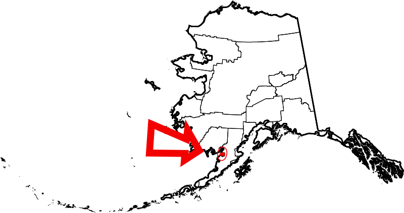
English: This is a locator map showing Bristol Bay Borough in Alaska |
| Date | |
| Source |
Own work: English: The maps use data from nationalatlas.gov, specifically countyp020.tar.gz on the Raw Data Download page. The maps also use state outline data from statesp020.tar.gz. The Florida maps use hydrogm020.tar.gz to display Lake Okeechobee. |
| Author | David Benbennick |
| SVG development |
Licensing
| I, the copyright holder of this work, release this work into the public domain. This applies worldwide. In some countries this may not be legally possible; if so: I grant anyone the right to use this work for any purpose, without any conditions, unless such conditions are required by law. |
File history
Click on a date/time to view the file as it appeared at that time.
| Date/Time | Thumbnail | Dimensions | User | Comment | |
|---|---|---|---|---|---|
| current | 20:11, 25 June 2024 | | 1,470 × 777 (644 KB) | Nux | uniform colors with good contrast |
| 23:15, 17 June 2024 |  | 1,470 × 777 (338 KB) | Nux | fix rendering (remove clipping) | |
| 23:12, 17 June 2024 |  | 1,470 × 777 (338 KB) | Nux | fix rendering (remove clipping) | |
| 23:25, 18 November 2010 |  | 1,470 × 777 (370 KB) | Rfc1394 | Add circle and very large arrow | |
| 19:26, 5 March 2006 |  | 1,470 × 777 (338 KB) | David Benbennick | {{subst:User:Dbenbenn/clm|county=Bristol Bay Borough|state=Alaska|type=borough and census area}} |
File usage
The following pages on the English Wikipedia use this file (pages on other projects are not listed):
- Bristol Bay Borough, Alaska
- Elevation of Holy Cross Church
- King Salmon, Alaska
- Kvichak Bay
- List of boroughs and census areas in Alaska
- Naknek, Alaska
- Naknek Lake
- Naknek River
- National Register of Historic Places listings in Bristol Bay Borough, Alaska
- South Naknek, Alaska
- User:AridCeption/sandbox
- User:Nyttend/County templates/AK
- Wikipedia:WikiProject Alaska
- File talk:Map of Alaska highlighting Bristol Bay Borough.svg
- Template:BristolBayAK-geo-stub
- Template:Bristol Bay Borough, Alaska
- Category:Populated places in Bristol Bay Borough, Alaska
Global file usage
The following other wikis use this file:
- Usage on bpy.wikipedia.org
- Usage on ca.wikipedia.org
- Usage on ceb.wikipedia.org
- Usage on ce.wikipedia.org
- Usage on cy.wikipedia.org
- Usage on da.wikipedia.org
- Usage on de.wikipedia.org
- Usage on es.wikipedia.org
- Usage on fi.wikipedia.org
- Usage on fr.wikipedia.org
- Usage on ga.wikipedia.org
- Usage on gl.wikipedia.org
- Usage on hu.wikipedia.org
- Usage on hy.wikipedia.org
- Usage on id.wikipedia.org
- Usage on it.wikipedia.org
- Usage on ja.wikipedia.org
- Usage on ko.wikipedia.org
- Usage on nds.wikipedia.org
- Usage on nl.wikipedia.org
- Usage on pl.wikipedia.org
- Usage on pt.wikipedia.org
- Usage on ro.wikipedia.org
- Usage on ru.wikipedia.org
View more global usage of this file.