
File:Map of Iran.svg

Size of this PNG preview of this SVG file: 800 × 400 pixels. Other resolutions: 320 × 160 pixels | 640 × 320 pixels | 1,024 × 511 pixels | 1,280 × 639 pixels | 2,560 × 1,279 pixels | 1,001 × 500 pixels.
Original file (SVG file, nominally 1,001 × 500 pixels, file size: 463 KB)
| This is a file from the Wikimedia Commons. Information from its description page there is shown below. Commons is a freely licensed media file repository. You can help. |
Summary
| Description |
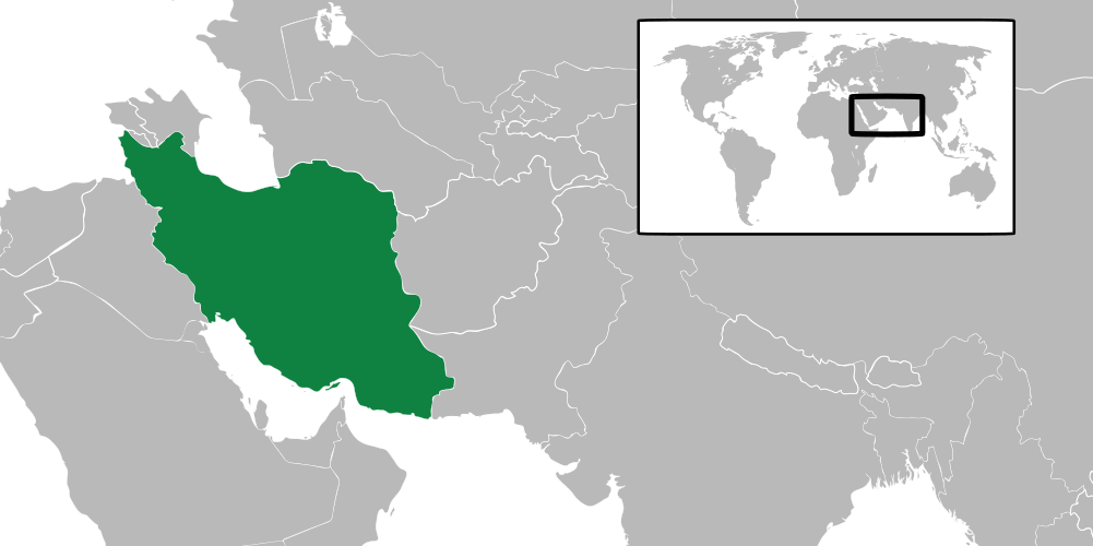
English: Map locating Iran. |
| Source | self-made using File:Map of Oman.svg |
| Author | Connormah |
Licensing
| I, the copyright holder of this work, release this work into the public domain. This applies worldwide. In some countries this may not be legally possible; if so: I grant anyone the right to use this work for any purpose, without any conditions, unless such conditions are required by law. |
| Annotations | This image is annotated: View the annotations at Commons |
File history
Click on a date/time to view the file as it appeared at that time.
| Date/Time | Thumbnail | Dimensions | User | Comment | |
|---|---|---|---|---|---|
| current | 10:35, 6 December 2022 | | 1,001 × 500 (463 KB) | Iktsokh | Correction |
| 10:31, 6 December 2022 |  | 1,001 × 500 (569 KB) | Iktsokh | / | |
| 01:36, 11 June 2009 |  | 1,001 × 500 (462 KB) | Connormah | scale | |
| 01:35, 11 June 2009 |  | 1,001 × 500 (464 KB) | Connormah | {{Information |Description={{en|1=Map locating Iran.}} |Source=self-made using File:Map of Oman.svg |Author=Connormah |Date= |Permission= |other_versions= }} <!--{{ImageUpload|full}}--> |
File usage
No pages on the English Wikipedia use this file (pages on other projects are not listed).
Global file usage
The following other wikis use this file:
- Usage on fa.wikibooks.org
- Usage on fy.wiktionary.org
- Usage on kbp.wikipedia.org
- Usage on ku.wikipedia.org
- Usage on ru.wikipedia.org
- Usage on tg.wiktionary.org