
File:Moraine Airpark from the east.jpg
Size of this preview: 800 × 600 pixels. Other resolutions: 320 × 240 pixels | 640 × 480 pixels | 1,024 × 768 pixels | 1,280 × 960 pixels | 2,272 × 1,704 pixels.
Original file (2,272 × 1,704 pixels, file size: 1.75 MB, MIME type: image/jpeg)
| This is a file from the Wikimedia Commons. Information from its description page there is shown below. Commons is a freely licensed media file repository. You can help. |
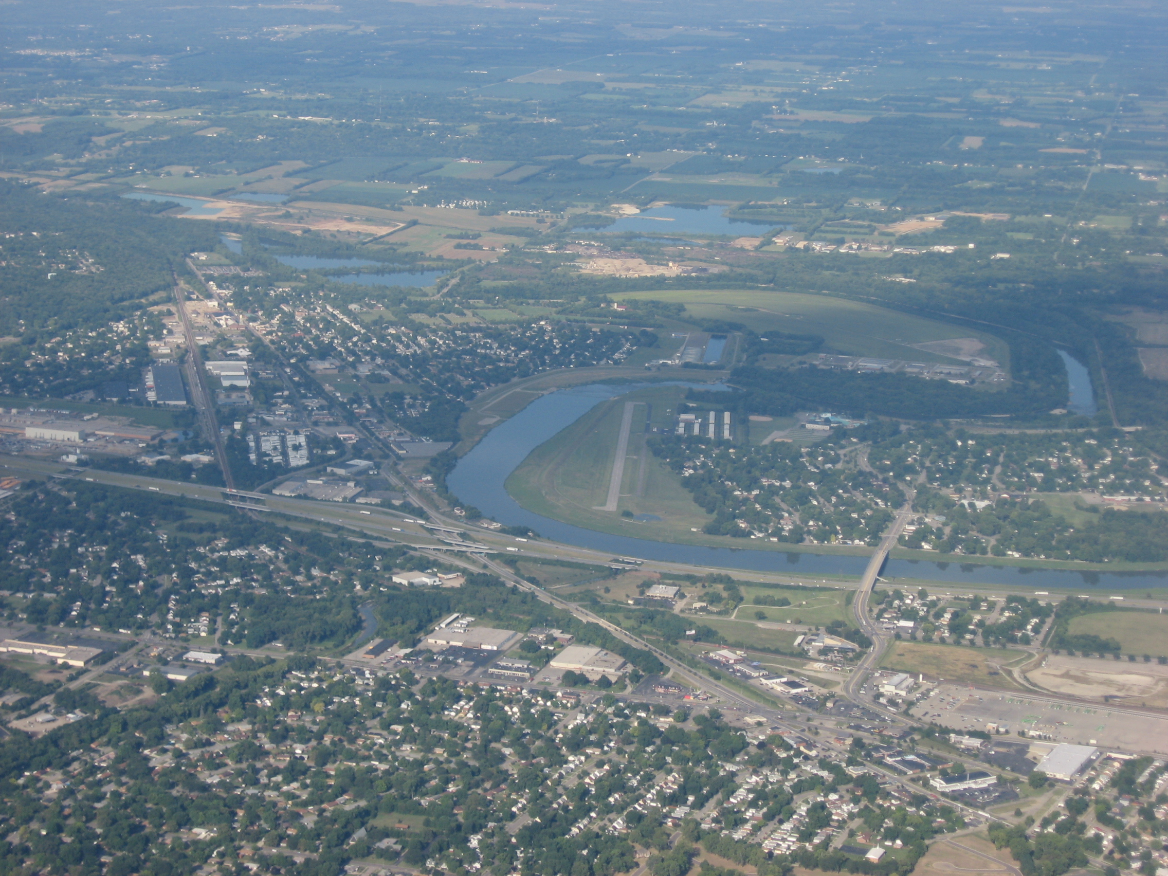
| Description | Aerial view of Moraine Airpark in the city of Moraine, a Dayton suburb in southern Montgomery County, Ohio, United States. The stream flowing past the airport is the Great Miami River, with Interstate 75 just across the river from the airport to the east. Picture taken from a Diamond Eclipse light airplane at an altitude of 4,430 feet MSL and a bearing of approximately 260º. | ||
| Date | Taken on 12 August 2008 | ||
| Source | Own work | ||
| Author | Nyttend | ||
| Permission (Reusing this file) |
|
File history
Click on a date/time to view the file as it appeared at that time.
| Date/Time | Thumbnail | Dimensions | User | Comment | |
|---|---|---|---|---|---|
| current | 16:19, 20 August 2008 | | 2,272 × 1,704 (1.75 MB) | Nyttend | {{Information |Description=Aerial view of {{w|Moraine Airpark}} in the city of {{w|Moraine, Ohio|Moraine}}, a {{w|Dayton, Ohio|Dayton}} suburb in southern {{w|Montgomery County, Ohio|Montgomery County}}, {{w|Ohio}}, {{w|United States}}. The stream flowin |
File usage
The following pages on the English Wikipedia use this file (pages on other projects are not listed):
Global file usage
The following other wikis use this file:
- Usage on ceb.wikipedia.org
- Usage on fa.wikipedia.org
- Usage on tg.wikipedia.org
- Usage on ur.wikipedia.org
- Usage on www.wikidata.org