
File:NSW Election Map 2011.png

Size of this preview: 318 × 598 pixels. Other resolutions: 127 × 240 pixels | 255 × 480 pixels | 408 × 768 pixels | 544 × 1,024 pixels | 1,089 × 2,048 pixels | 2,573 × 4,840 pixels.
Original file (2,573 × 4,840 pixels, file size: 259 KB, MIME type: image/png)
| This is a file from the Wikimedia Commons. Information from its description page there is shown below. Commons is a freely licensed media file repository. You can help. |
Summary
| Description |
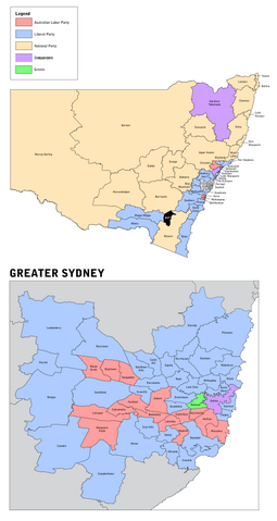
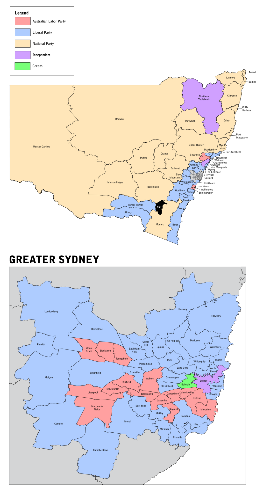
English: Electoral map of New South Wales with inset for the Greater Sydney area following the New South Wales state election held on 26 March 2011. |
||
| Date | |||
| Source | Own work. Uses data from Australian Bureau of Statistics - Australian Statistical Geography Standard (ASGS): Volume 3 - Non ABS Structures, July 2011 (CC-BY 2.5) | ||
| Author | Canley | ||
| Permission (Reusing this file) |
I, the copyright holder of this work, hereby publish it under the following licenses: This file is licensed under the Creative Commons Attribution-Share Alike 3.0 Unported license.
You may select the license of your choice. |

File history
Click on a date/time to view the file as it appeared at that time.
| Date/Time | Thumbnail | Dimensions | User | Comment | |
|---|---|---|---|---|---|
| current | 13:26, 30 August 2012 | | 2,573 × 4,840 (259 KB) | Miracle Pen | run through optipng |
| 13:08, 3 April 2011 |  | 2,573 × 4,840 (733 KB) | Canley | Lower resolution | |
| 13:03, 3 April 2011 |  | 3,629 × 7,016 (709 KB) | Canley | {{Information |Description ={{en|1=Electoral map of New South Wales with inset for the Greater Sydney area following the New South Wales state election held on 26 March 2011.}} |Source ={{own}} |Author =Canley |Date |
File usage
The following pages on the English Wikipedia use this file (pages on other projects are not listed):