
File:Ossiacher Tauern Tauern Kirchlein 01112009 40.jpg
Size of this preview: 800 × 531 pixels. Other resolutions: 320 × 213 pixels | 640 × 425 pixels | 1,024 × 680 pixels | 1,280 × 850 pixels | 2,560 × 1,700 pixels | 4,288 × 2,848 pixels.
Original file (4,288 × 2,848 pixels, file size: 6.96 MB, MIME type: image/jpeg)
| This is a file from the Wikimedia Commons. Information from its description page there is shown below. Commons is a freely licensed media file repository. You can help. |
Summary
| Description |
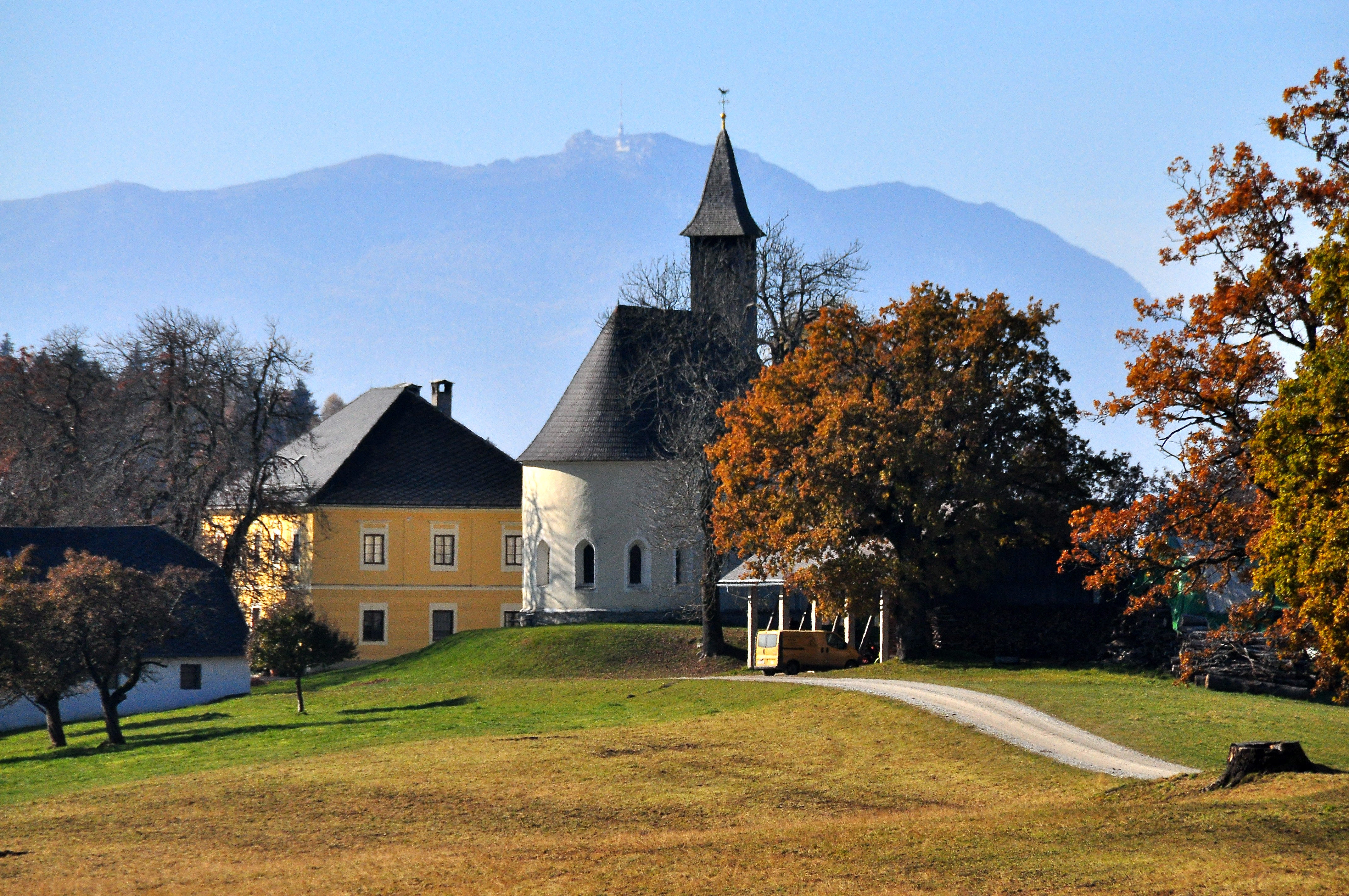
English: Manor and subsidiary church in the hamlet Tauern in the municipality Ossiach, district Feldkirchen, Carinthia, Austria
Deutsch: Meiereihaus und Filialkirche Heiliger Antonius im Weiler Tauern in der Gemeinde Ossiach, Bezirk Feldkirchen, Kärnten, Österreich
|
||
| Date | |||
| Source | Own work | ||
| Author | Johann Jaritz | ||
| Permission (Reusing this file) |
I, the copyright holder of this work, hereby publish it under the following licenses:
This file is licensed under the Creative Commons Attribution-Share Alike 3.0 Austria license.
 You may select the license of your choice. |

| Object location | | View this and other nearby images on: OpenStreetMap |
|---|
| Annotations | This image is annotated: View the annotations at Commons |
File history
Click on a date/time to view the file as it appeared at that time.
| Date/Time | Thumbnail | Dimensions | User | Comment | |
|---|---|---|---|---|---|
| current | 04:51, 2 November 2009 | | 4,288 × 2,848 (6.96 MB) | Johann Jaritz | {{Information |Description={{en|1=Manor and subsidiary church in the hamlet Tauern in the municipality Ossiach, district Feldkirchen, Carinthia, Austria}} {{de|1=Meiereihaus und Filialkirche im Weiler Tauern in der Gemeinde Ossiach, Bezirk Feldkir |
File usage
The following pages on the English Wikipedia use this file (pages on other projects are not listed):
Global file usage
The following other wikis use this file:
- Usage on de.wikipedia.org
- Usage on et.wikipedia.org
- Usage on hu.wikipedia.org
- Usage on sl.wikipedia.org
- Usage on www.wikidata.org