
File:Oyster-bay-town.gif
No higher resolution available.
Oyster-bay-town.gif (575 × 425 pixels, file size: 70 KB, MIME type: image/gif)
| This is a file from the Wikimedia Commons. Information from its description page there is shown below. Commons is a freely licensed media file repository. You can help. |
Summary
| Description |
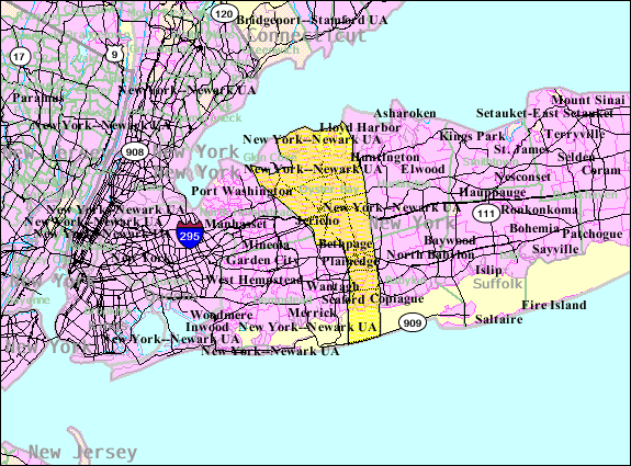
English: Oyster Bay, New York map from U.S. Census. |
| Date | |
| Source | http://factfinder.census.gov |
| Author | United States Census Bureau |

|
This locator map image could be re-created using vector graphics as an SVG file. This has several advantages; see Commons:Media for cleanup for more information. If an SVG form of this image is available, please upload it and afterwards replace this template with
{{vector version available|new image name}}.
It is recommended to name the SVG file “Oyster-bay-town.svg”—then the template Vector version available (or Vva) does not need the new image name parameter. |
Licensing
This image or file is a work of a United States Census Bureau employee, taken or made as part of that person's official duties. As a work of the U.S. federal government, the image is in the public domain.
|
 |
Original upload log
The original description page was here. All following user names refer to en.wikipedia.
- 2007-10-23 00:35 Americasroof 575×425× (72134 bytes) [[Oyster Bay, New York]] map from U.S. Census.
File history
Click on a date/time to view the file as it appeared at that time.
| Date/Time | Thumbnail | Dimensions | User | Comment | |
|---|---|---|---|---|---|
| current | 14:02, 25 August 2013 | | 575 × 425 (70 KB) | Dcirovic | {{Information |Description={{en|Oyster Bay, New York map from U.S. Census.}} |Source=Transferred from [http://en.wikipedia.org en.wikipedia] |Date={{Original upload date|2007-10-23}} |Author=Original uploader was {{u... |
File usage
No pages on the English Wikipedia use this file (pages on other projects are not listed).