
File:Prussian State and the German Empire, 1886 (Geographisches Institut, Weimar).jpg

Size of this preview: 706 × 599 pixels. Other resolutions: 283 × 240 pixels | 566 × 480 pixels | 905 × 768 pixels | 1,206 × 1,024 pixels | 2,413 × 2,048 pixels | 9,213 × 7,821 pixels.
Original file (9,213 × 7,821 pixels, file size: 14.66 MB, MIME type: image/jpeg)
| This is a file from the Wikimedia Commons. Information from its description page there is shown below. Commons is a freely licensed media file repository. You can help. |
.jpg)
Summary
| Description |
Full Title:
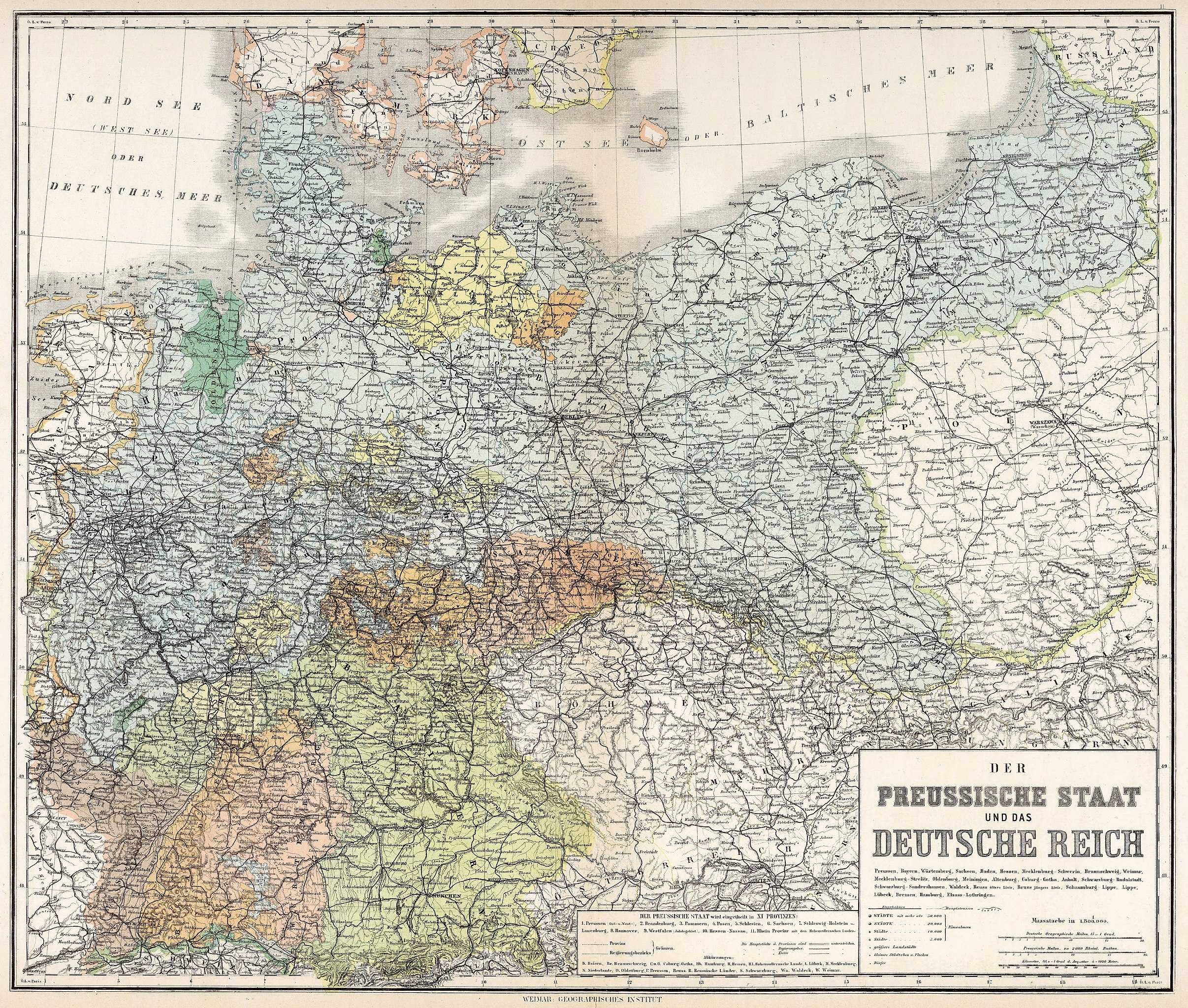
Der Preussische Staat und das Deutsche Reich. (The Prussian State and the German Empire.)
|
||||||
| Date | 1886 | ||||||
| Source | David Rumsey Map Collection | ||||||
| Author | Geographisches Institut (Weimar, Germany), 1886 | ||||||
| Permission (Reusing this file) |
|
||||||
Licensing
This file is licensed under the Creative Commons Attribution-Share Alike 4.0 International license.
- You are free:
- to share – to copy, distribute and transmit the work
- to remix – to adapt the work
- Under the following conditions:
- attribution – You must give appropriate credit, provide a link to the license, and indicate if changes were made. You may do so in any reasonable manner, but not in any way that suggests the licensor endorses you or your use.
- share alike – If you remix, transform, or build upon the material, you must distribute your contributions under the same or compatible license as the original.
File history
Click on a date/time to view the file as it appeared at that time.
| Date/Time | Thumbnail | Dimensions | User | Comment | |
|---|---|---|---|---|---|
| current | 17:37, 5 January 2023 | | 9,213 × 7,821 (14.66 MB) | FDRMRZUSA | Uploaded a work by Geographisches Institut (Weimar, Germany), 1886 from [https://www.davidrumsey.com/luna/servlet/detail/RUMSEY~8~1~277024~90050048:Prussian-State-and-the-German-Empir?sort=Pub_Date%2CPub_List_No_InitialSort&qvq=w4s:/when%2F1886;q:author%3D%22Geographisches%20Institut%20(Weimar%2C%20Germany)%22;sort:Pub_Date%2CPub_List_No_InitialSort;lc:RUMSEY~8~1&mi=15&trs=73] (David Rumsey Map Collection) with UploadWizard |
File usage
The following pages on the English Wikipedia use this file (pages on other projects are not listed):
.jpg)