
File:Randøy bru.JPG
Size of this preview: 800 × 600 pixels. Other resolutions: 320 × 240 pixels | 640 × 480 pixels | 1,024 × 767 pixels | 1,280 × 959 pixels | 1,832 × 1,373 pixels.
Original file (1,832 × 1,373 pixels, file size: 1,023 KB, MIME type: image/jpeg)
| This is a file from the Wikimedia Commons. Information from its description page there is shown below. Commons is a freely licensed media file repository. You can help. |
Summary
| Description |
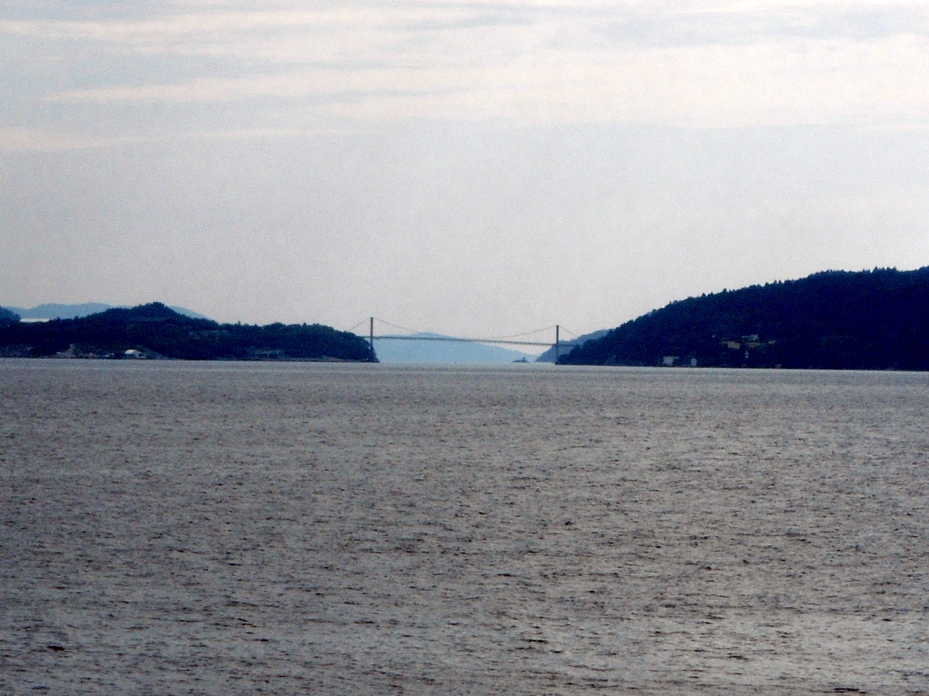
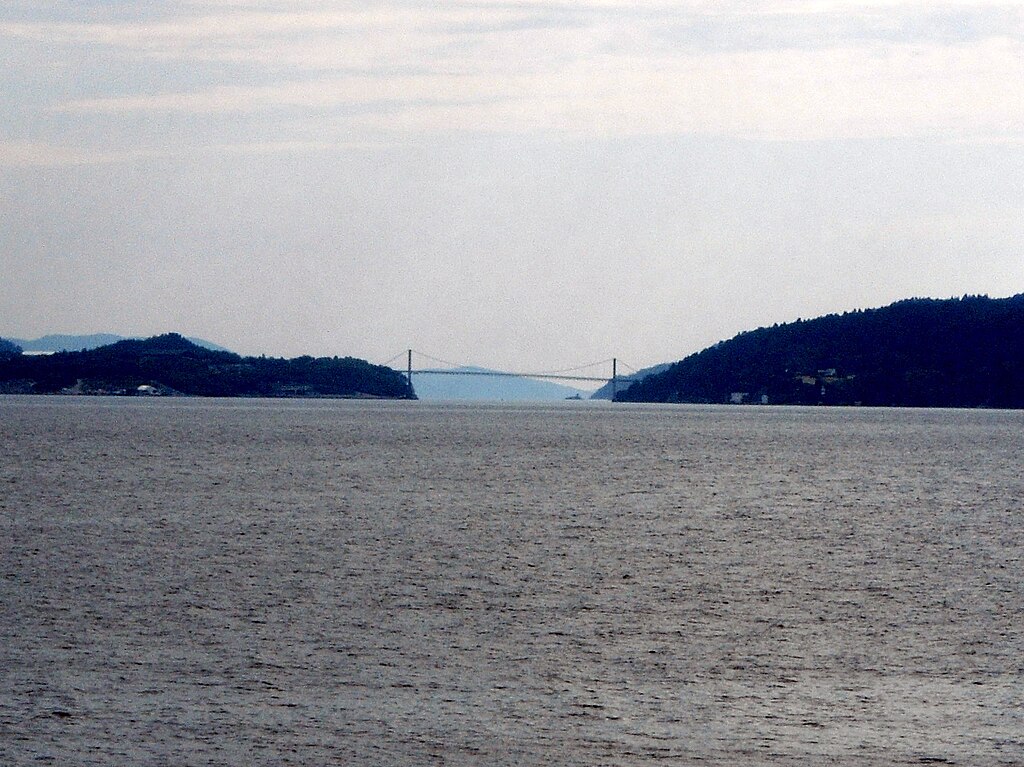
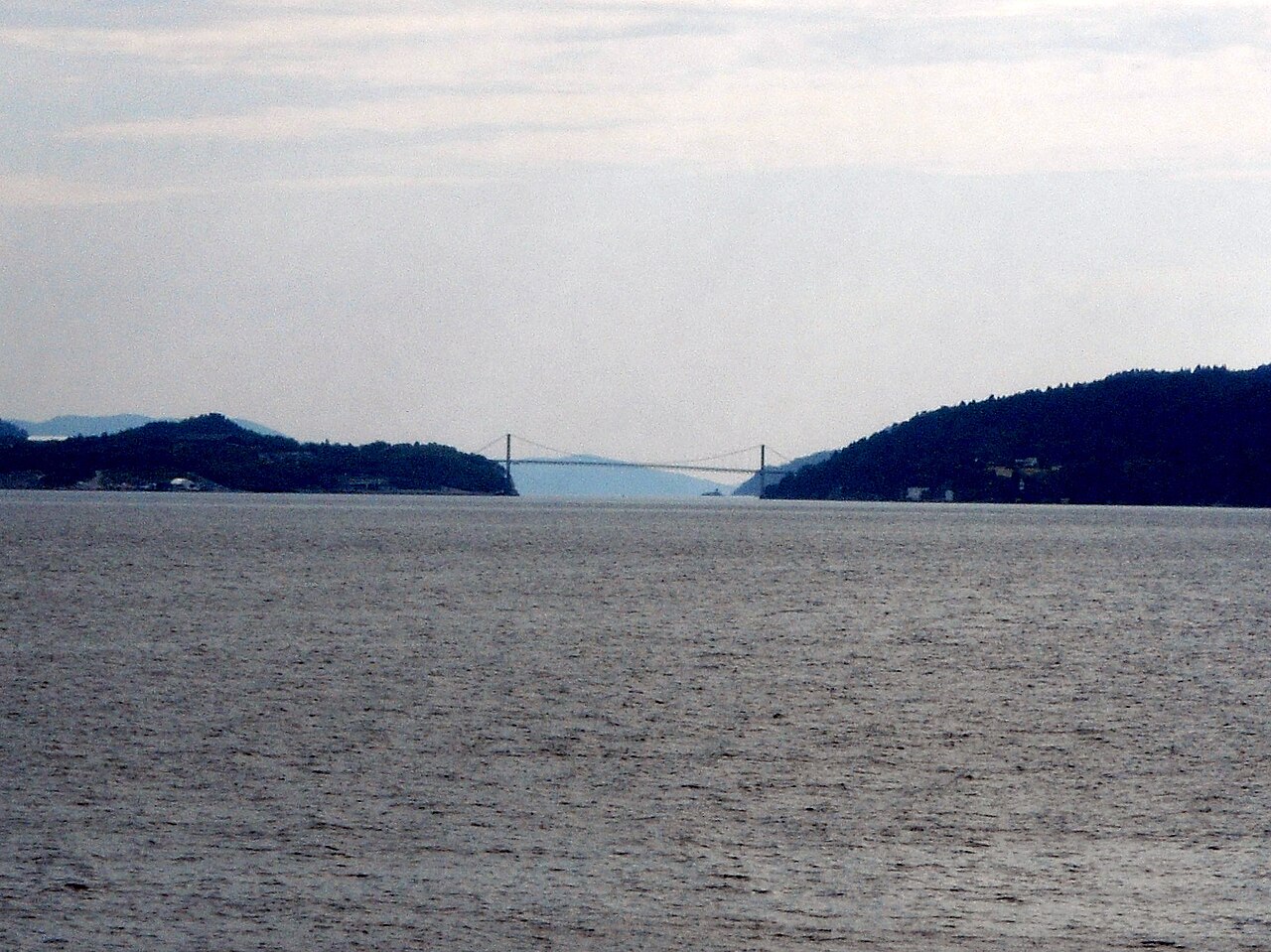
English: Randøy bru, a bridge in the municipality of Hjelmeland, Norway |
| Date | |
| Source | Own work |
| Author | Reinhardheydt |
| Camera location | | View this and other nearby images on: OpenStreetMap |
|---|
Licensing
| I, the copyright holder of this work, release this work into the public domain. This applies worldwide. In some countries this may not be legally possible; if so: I grant anyone the right to use this work for any purpose, without any conditions, unless such conditions are required by law. |
File history
Click on a date/time to view the file as it appeared at that time.
| Date/Time | Thumbnail | Dimensions | User | Comment | |
|---|---|---|---|---|---|
| current | 21:15, 8 July 2009 | | 1,832 × 1,373 (1,023 KB) | Reinhardheydt | {{Information |Description={{en|1=Randøy bru, a bridge in the municipality of Hjelmeland, Norway}} |Source=Own work by uploader |Author=Reinhardheydt |Date=2009-06-29 |Permission= |other_versions= }} {{location|59|15|16.11|N|6|9|41 |
File usage
The following pages on the English Wikipedia use this file (pages on other projects are not listed):
Global file usage
The following other wikis use this file:
- Usage on ceb.wikipedia.org
- Usage on da.wikipedia.org
- Usage on fr.wikipedia.org
- Usage on nn.wikipedia.org
- Usage on no.wikipedia.org
- Usage on tr.wikipedia.org
- Usage on www.wikidata.org