
File:Remsbahn Karte OSM.png

Size of this preview: 800 × 234 pixels. Other resolutions: 320 × 94 pixels | 640 × 187 pixels | 1,828 × 535 pixels.
Original file (1,828 × 535 pixels, file size: 873 KB, MIME type: image/png)
| This is a file from the Wikimedia Commons. Information from its description page there is shown below. Commons is a freely licensed media file repository. You can help. |
| Description |
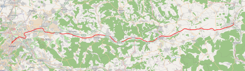
English: Rail map Stuttgart-Aalen
Deutsch: Karte der Remsbahn Stuttgart-Aalen |
| Date | see file history |
| Source | own work, using OpenStreetMap data for background |
| Author | Memorino |
| Permission (Reusing this file) |
All OpenStreetMap data and maps are Creative Commons "CC-BY-SA 2.0" licensed This file is licensed under the Creative Commons Attribution-Share Alike 2.0 Generic license.
|
File history
Click on a date/time to view the file as it appeared at that time.
| Date/Time | Thumbnail | Dimensions | User | Comment | |
|---|---|---|---|---|---|
| current | 14:29, 10 November 2009 | 1,828 × 535 (873 KB) | Memorino | {{Information |Description={{en|1=Rail map Stuttgart-Aalen}} {{de|1=Karte der Remsbahn Stuttgart-Aalen}} |Source=own work, using OpenStreetMap data for background |Author=Memorino |Date=see file history |Permission=All OpenStreetMap |
File usage
No pages on the English Wikipedia use this file (pages on other projects are not listed).
Global file usage
The following other wikis use this file:
- Usage on de.wikipedia.org
- Usage on www.wikidata.org