
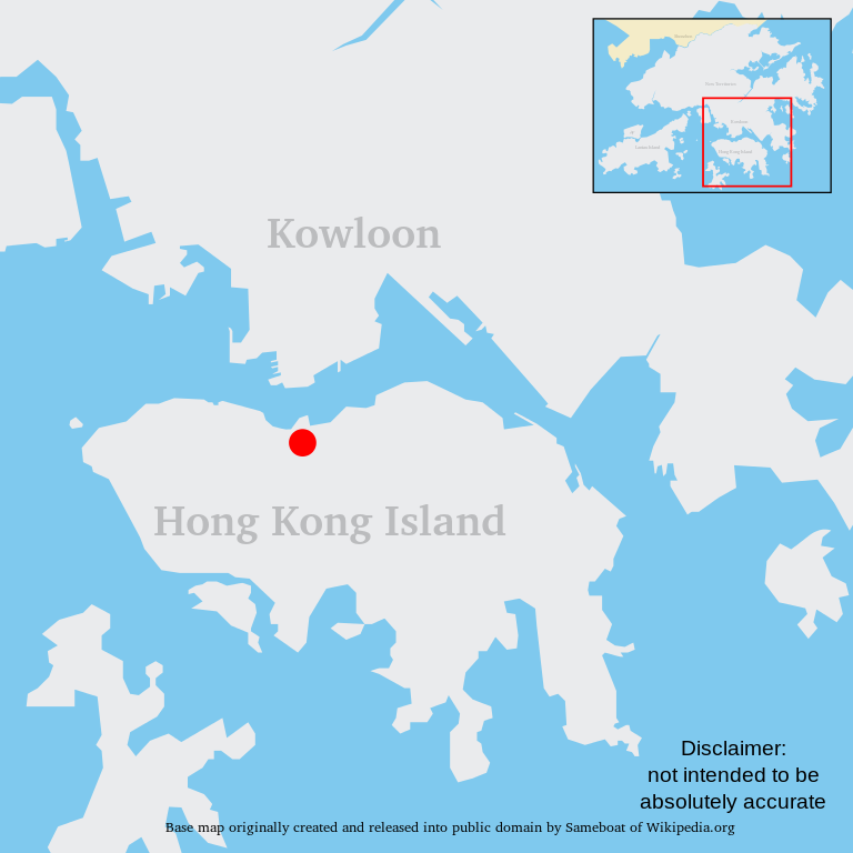
File:Wan Chai location map.svg

Size of this PNG preview of this SVG file: 600 × 600 pixels. Other resolutions: 240 × 240 pixels | 480 × 480 pixels | 768 × 768 pixels | 1,024 × 1,024 pixels | 2,048 × 2,048 pixels.
Original file (SVG file, nominally 600 × 600 pixels, file size: 97 KB)
| This is a file from the Wikimedia Commons. Information from its description page there is shown below. Commons is a freely licensed media file repository. You can help. |
Summary
| Description |
中文(繁體):灣仔在香港特別行政區的位置 |
| Date | 28 March 2024 |
| Source | Own work based on Hong Kong Base Map urban.svg |
| Author | Raphaelmak |
Licensing
| I, the copyright holder of this work, release this work into the public domain. This applies worldwide. In some countries this may not be legally possible; if so: I grant anyone the right to use this work for any purpose, without any conditions, unless such conditions are required by law. |
File history
Click on a date/time to view the file as it appeared at that time.
| Date/Time | Thumbnail | Dimensions | User | Comment | |
|---|---|---|---|---|---|
| current | 13:13, 8 June 2008 | | 600 × 600 (97 KB) | Raphaelmak | {{subst:User:Raphaelmak/Templates/Map|Wan Chai|灣仔}} Category:Wan Chai {{ImageUpload|basic}} Category:Wan Chai Category:Wan Chai District Category:Wan Chai Category:Wan Chai District |
File usage
The following pages on the English Wikipedia use this file (pages on other projects are not listed):
Global file usage
The following other wikis use this file: