
File:Werribee Mercy Hospital.jpg
Original file (1,920 × 1,080 pixels, file size: 839 KB, MIME type: image/jpeg)
| This is a file from the Wikimedia Commons. Information from its description page there is shown below. Commons is a freely licensed media file repository. You can help. |
Summary
| Description |
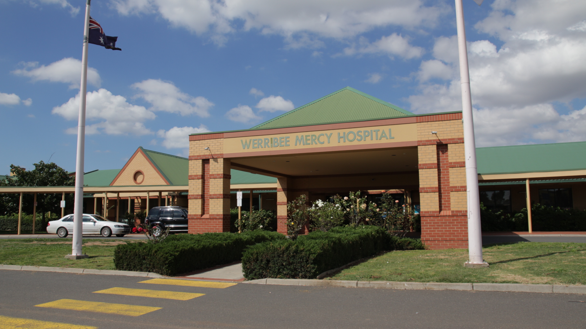
iPostcodes | About | Blog | Twitter | Facebook | Flickr | Unique Suburbs| Disclaimer Werribee Mercy Hospital Located At: 300 Princes Highway, Werribee, Victoria About This Photo: The Mercy Hospital at Werribee provides a broad range of services which include surgical, maternity, dialysis, emergency, mental health, aged and palliative care. Source: Werribee Mercy Hospital www.mercy.com.au Retrieved March 8 2011 Google Maps maps.google.com.au/maps?hl=en&tab=wl Retrieved March 8 2011 Photo Taken: During iPostcodes's Unique Suburbs filming of Hoppers Crossing, Victoria, Australia About iPostcodes iPostcodes is an Australian real estate portal offering free listings to all property owners and real estate agents and a whole lot more. Unique Suburbs Check out Unique Suburbs where we did a full Suburb Profile of "Hoppers Crossing, Victoria Australia" on video. |
| Date | |
| Source |
Werribee Mercy Hospital - Victoria - iPostcodes.com.au
|
| Author | iPostcodes from Australia |
| Camera location | | View this and other nearby images on: OpenStreetMap |
|---|
Licensing
- You are free:
- to share – to copy, distribute and transmit the work
- to remix – to adapt the work
- Under the following conditions:
- attribution – You must give appropriate credit, provide a link to the license, and indicate if changes were made. You may do so in any reasonable manner, but not in any way that suggests the licensor endorses you or your use.
| This image, originally posted to Flickr, was reviewed on June 1, 2011 by the administrator or reviewer File Upload Bot (Magnus Manske), who confirmed that it was available on Flickr under the stated license on that date. |
File history
Click on a date/time to view the file as it appeared at that time.
| Date/Time | Thumbnail | Dimensions | User | Comment | |
|---|---|---|---|---|---|
| current | 07:39, 1 June 2011 | | 1,920 × 1,080 (839 KB) | File Upload Bot (Magnus Manske) | {{Information |Description=[http://www.iPostcodes.com.au iPostcodes] | [http://www.ipostcodes.com.au/About About] | [http://www.ipostcodes.com.au/blog/ Blog] | [http://twitter.com/ipostcodes Twitter] | [http://www.facebook.com/pages/iP |
File usage
Global file usage
The following other wikis use this file:
- Usage on fr.wikipedia.org
- Usage on www.wikidata.org