
File:Sub-surface scattering depth map.svg

Size of this PNG preview of this SVG file: 215 × 114 pixels. Other resolutions: 320 × 170 pixels | 640 × 339 pixels | 1,024 × 543 pixels | 1,280 × 679 pixels | 2,560 × 1,357 pixels.
Original file (SVG file, nominally 215 × 114 pixels, file size: 13 KB)
| This is a file from the Wikimedia Commons. Information from its description page there is shown below. Commons is a freely licensed media file repository. You can help. |
Summary
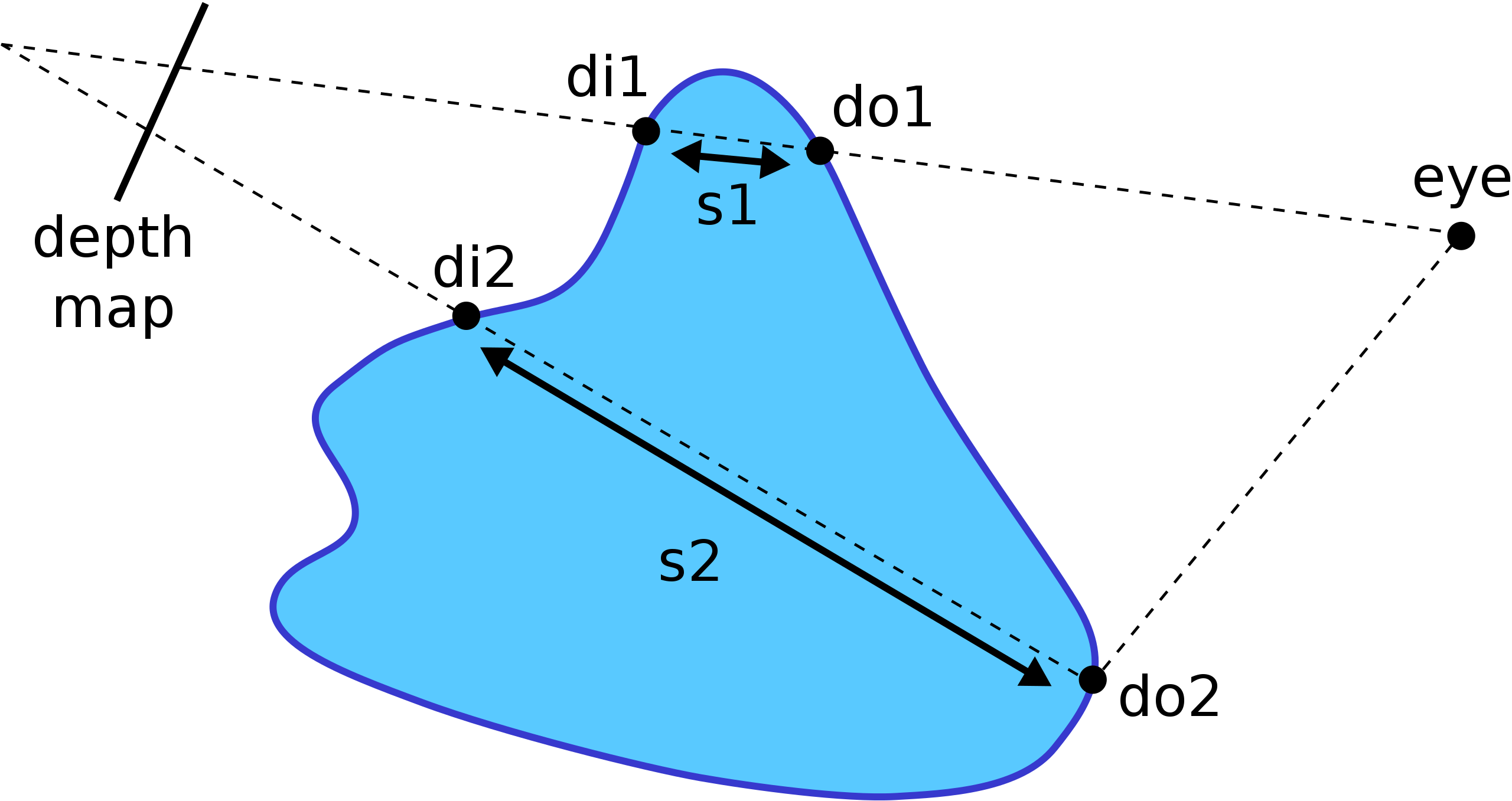
| Description | Depth estimation using depth maps |
| Source | Own work |
| Author | Tinctorius |
Licensing
| I, the copyright holder of this work, release this work into the public domain. This applies worldwide. In some countries this may not be legally possible; if so: I grant anyone the right to use this work for any purpose, without any conditions, unless such conditions are required by law. |
File history
Click on a date/time to view the file as it appeared at that time.
| Date/Time | Thumbnail | Dimensions | User | Comment | |
|---|---|---|---|---|---|
| current | 20:24, 24 December 2007 | | 215 × 114 (13 KB) | Tinctorius~commonswiki | Swapped di{1,2} labels; the labels make sense now. |
| 11:03, 11 December 2007 |  | 215 × 114 (13 KB) | Tinctorius~commonswiki | ||
| 11:02, 11 December 2007 |  | 744 × 1,052 (13 KB) | Tinctorius~commonswiki | {{Information |Description=Depth estimation using depth maps |Source=self-made |Date= |Author=Tinctorius |Permission= |other_versions= }} |
File usage
The following pages on the English Wikipedia use this file (pages on other projects are not listed):
Global file usage
The following other wikis use this file:
- Usage on ru.wikipedia.org
- Usage on uk.wikipedia.org
- Usage on www.wikidata.org