
Karkaraly Range
| Karkaraly Range | |
|---|---|
| Қарқаралы таулары | |
 Landscape of the range | |
| Highest point | |
| Peak | Zhirensakal (Komsomol Peak) |
| Elevation | 1,403 m (4,603 ft) |
| Coordinates | 49°22′N 75°23′E / 49.367°N 75.383°E |
| Dimensions | |
| Length | 35 km (22 mi) N / S |
| Width | 25 km (16 mi) E/ W |
| Geography | |
 Karkaraly Range Location in Kazakhstan | |
| Location | Kazakhstan |
| Range coordinates | 49°22′N 75°22′E / 49.367°N 75.367°E |
| Parent range | Kazakh Uplands |
| Geology | |
| Orogeny | Alpine orogeny |
| Type of rock | Granite, quartzite, porphyritic rock |

Karkaraly Range (Kazakh: Қарқаралы таулары; Russian: Каркаралинские горы) is a range of mountains in Karkaraly District, Karaganda Region, Kazakhstan.[1]
Karkaraly city lies at the feet of the eastern slopes of the mountains. A large sector of the range is part of the Karkaraly National Park, a 112,120 hectares (277,100 acres) protected area established in 1998.[2][3]
Geography
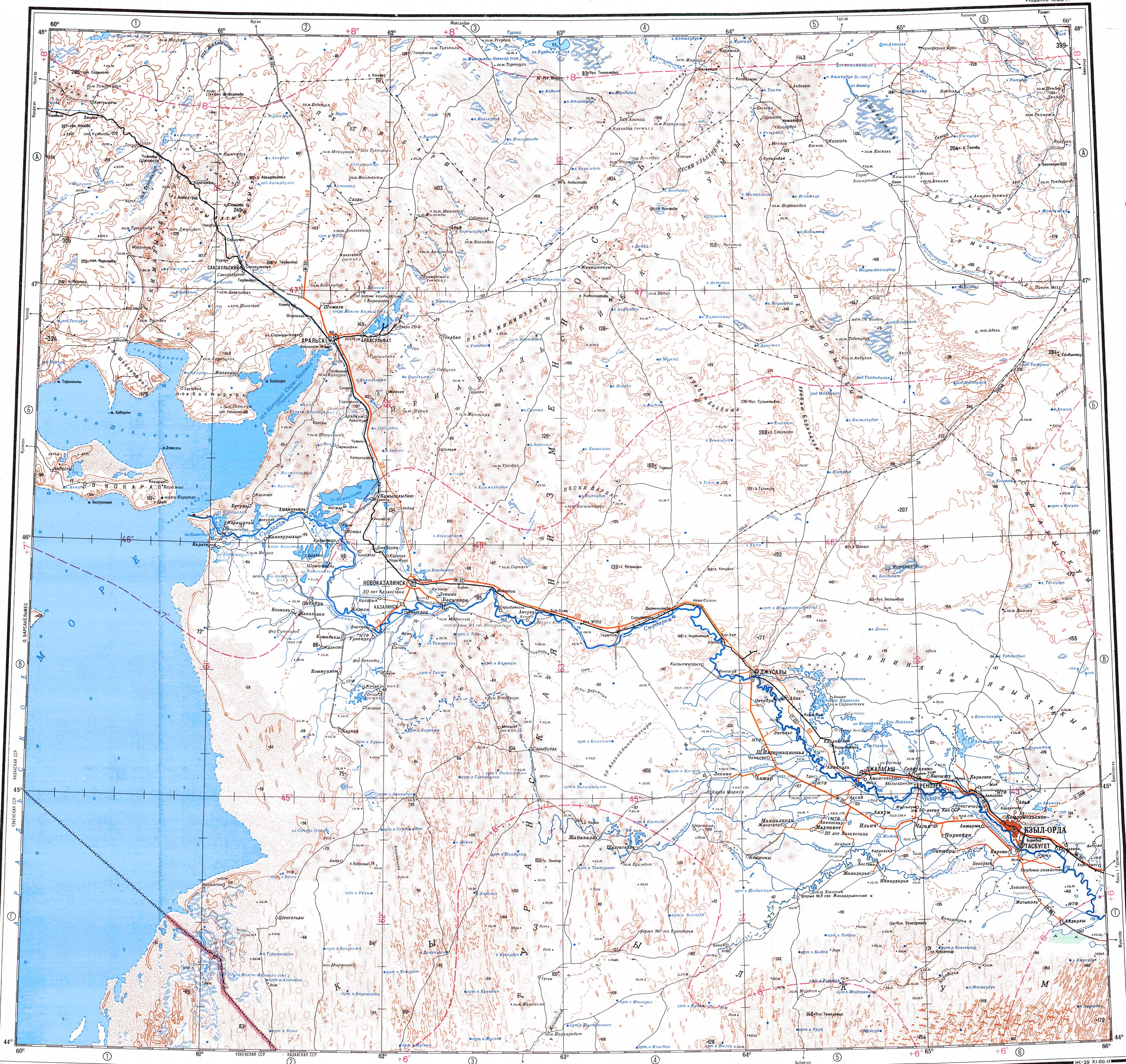
The Karkaraly Range is one of the subranges of the Kazakh Upland system (Saryarka). It rises to the northwest of the smaller, but higher, Kent Range. The larger Kyzyltas range rises to the southwest. The Karkaraly stretches from north to south for about 40 kilometers (25 mi). Its highest point is Zhirensakal (Komsomol Peak), a 1,403 meters (4,603 ft) high summit. The mountains are deeply dissected by valleys and ravines. There are numerous small lakes, such as Pasheno and Shaytankol within the range, as well as Bolshoye, Zhartas and Ashchykol at the feet of the mountains.[1][4][2]
The main rivers having their sources in the range are the Sarsu, Taldy and Tundak.[5][6][2]
Flora
The range is covered by pine forests as well as steppe vegetation made up of coarse feathergrass and forb grassland areas.[1]
See also
References
- ^ a b c Каркаралинские горы; Great Soviet Encyclopedia in 30 vols. — Ch. ed. A.M. Prokhorov. - 3rd ed. - M. Soviet Encyclopedia, 1969–1978. (in Russian)
- ^ a b c Google Earth
- ^ Каркаралинский национальный природный парк
- ^ "M-43 Chart (in Russian)". Retrieved 22 September 2022.
- ^ "L-41 Topographic Chart (in Russian)". Retrieved 12 September 2022.
- ^ Улы-Жыланшык; Great Soviet Encyclopedia in 30 vols. — Ch. ed. A.M. Prokhorov. - 3rd ed. - M. Soviet Encyclopedia, 1969–1978. (in Russian)
External links
 Media related to Karkaraly Range at Wikimedia Commons
- Visit Kazakhstan
This Kazakhstan location article is a stub. You can help Wikipedia by expanding it. |