Makemo Airport
Appearance
Makemo Airport | |||||||||||
|---|---|---|---|---|---|---|---|---|---|---|---|
 | |||||||||||
| Summary | |||||||||||
| Serves | Makemo | ||||||||||
| Elevation AMSL | 16 ft / 5 m | ||||||||||
| Coordinates | 16°35′12.07″S 143°39′13.64″W / 16.5866861°S 143.6537889°W | ||||||||||
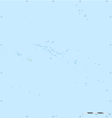
| Map | |||||||||||
| Runways | |||||||||||
| |||||||||||
Makemo Airport (IATA: MKP, ICAO: NTGM) is an airport on Makemo in French Polynesia. The airport is 10 km (6.2 mi) WNW of the village of Pouheva.
Airlines and destinations
Passenger
| Airlines | Destinations |
|---|---|
| Air Tahiti | Papeete[2] |
Statistics
Graphs are unavailable due to technical issues. There is more info on Phabricator and on MediaWiki.org. |
Annual passenger traffic at MKP airport.
See Wikidata query.
References
- ^ "Makemo Airport". Airports Worldwide. Retrieved 3 December 2021.
- ^ "Download forecast schedule - Official website - Air Tahiti".
External links
- NTGM – MAKEMO. AIP from French Service d'information aéronautique, effective 8 August 2024.

