
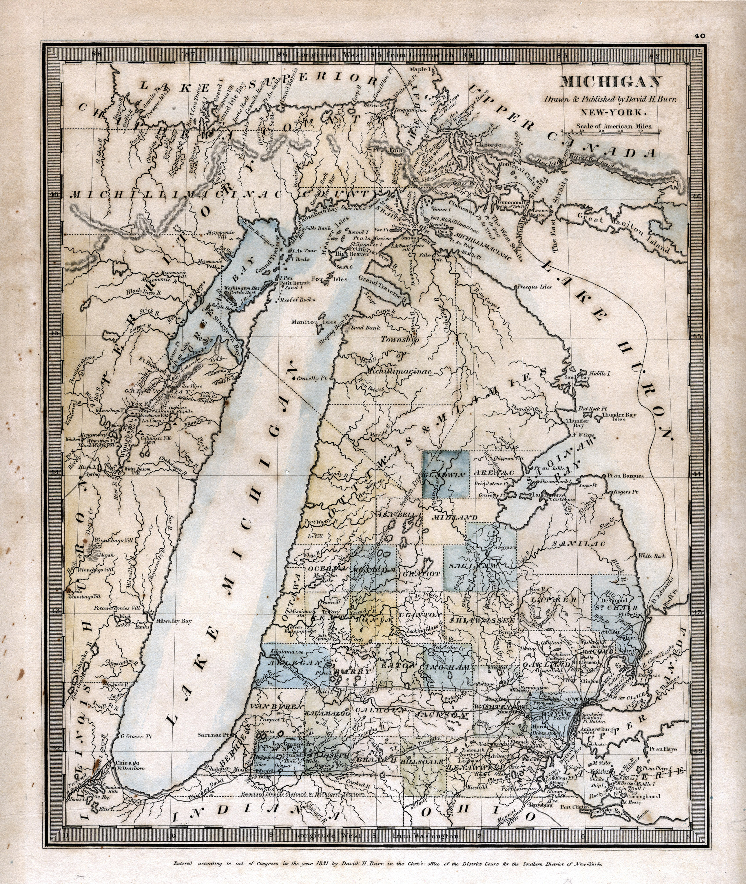
Maple Island (Lake Superior)
.jpg) Lake Superior. Maple Island, Eastern Whitefish Bay. August 2009. | |
 | |
| Geography | |
|---|---|
| Location | Whitefish Bay, Lake Superior |
| Coordinates | 46°46′09″N 84°34′42″W / 46.7691°N 84.5783°W |
| Administration | |
Canada | |
| Province | Ontario |
Maple Island is a small island in eastern Whitefish Bay of Lake Superior,[1] located a few kilometres from Canada's shore between Goulais Bay and Batchawana Bay.
References[edit]
- National Oceanic and Atmospheric Administration, National Ocean Service, Nautical Chart No. 14962, 18th Ed., 1990-04-07
External links[edit]
This Northern Ontario geographical article is a stub. You can help Wikipedia by expanding it. |