Sataplia Managed Reserve
Appearance
| Sataplia Managed Reserve | |
|---|---|
| Georgian: სათაფლიას აღკვეთილი | |
IUCN category IV (habitat/species management area) | |
 Fossilized dinosaur footprints presentation in conservation building. | |
| Location | |
| Nearest city | Tsqaltubo |
| Coordinates | 42°18′41.5″N 42°40′30.9″E / 42.311528°N 42.675250°E |
| Area | 0.34 km2 (0.13 sq mi) |
| Established | 2012 |
| Governing body | Agency of Protected Areas |
| Website | Imereti Caves Protected Areas Administration |
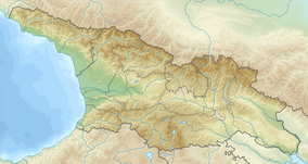
Sataplia Managed Reserve (Georgian: სათაფლიას აღკვეთილი) is a protected area and tourist attraction in Akhmeta Municipality in Imereti region of Georgia, 10 km from town of Kutaisi.[1] Visitors center is located in village lower Alvani at the slopes of extinct volcano — Mount Sataplia. The name Sataplia can be freely translated as a "honey place" (In Georgian language თაფლი , tapli means honey. ) and in fact bees used to live in small holes and caves and honey was harvested by the local population.

Sataplia Managed Reserve is part of Imereti Caves Protected Areas, which also includes Sataplia Strict Nature Reserve, Prometheus Cave Natural Monument.[2]
See also
References
- ^ "Sataplia in Georgia". Protected Planet. Retrieved 2018-11-05.
- ^ Imereti Caves Protected Areas Administration
Wikimedia Commons has media related to Sataplia Managed Reserve.


