Siny Yar

From Wikipedia, the free encyclopedia

This is an old revision of this page, as edited by Nikolai Kurbatov (talk | contribs) at 03:52, 15 October 2021. The present address (URL) is a permanent link to this revision, which may differ significantly from the current revision.

Siny Yar
Синий Яр
Selo
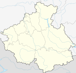
Siny Yar is located in Altai Republic
Siny Yar
Siny Yar
Siny Yar is located in Russia
Siny Yar
Siny Yar
Coordinates: 50°17′N 85°26′E / 50.283°N 85.433°E / 50.283; 85.433[1]
CountryRussia
RegionAltai Republic
DistrictUst-Koksinsky District
Time zoneUTC+7:00

Siny Yar (Russian: Синий Яр; Altay: Кӧк-Јар, romanized: Kok Yar) is a rural locality (a selo) in Ust-Koksinsky District, the Altai Republic, Russia. The population was 6 as of 2016.[2] There is 1 street.

Geography

Siny Yar is located 16 km west of Ust-Koksa (the district's administrative centre) by road. Tyuguryuk is the nearest rural locality.[3]

References

  1. ^ Карта Усть-коксинского района Алтая
  2. ^ "Оценка численности постоянного населения Республики Алтай по населённым пунктам за 2012-2016 годы". statra.gks.ru. Retrieved 2018-09-24.
  3. ^ Расстояние от Синего Яра до Усти-Коксы