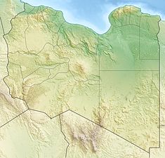
Wadi Wishka Dam
Appearance
| Wadi Wishka Dam | |
|---|---|
| Country | Libya |
| Location | Sokna |
| Coordinates | 28°49′56″N 15°37′24″E / 28.83222°N 15.62333°E |
| Status | Operational |
| Construction began | 2004 |
| Opening date | 2006 |
| Construction cost | US$5 million |
| Dam and spillways | |
| Impounds | Wadi Wishka |
| Height | 25 m (82 ft) |
| Length | 160 m (525 ft) |
| Reservoir | |
| Total capacity | 82,000 m3 (66 acre⋅ft)[1] |
The Wadi Wishka Dam is a concrete-face rock-fill embankment dam located on Wadi Wishka, 29 km (18 mi) southwest of Sokna in the Fezzan region of Libya. The primary purpose of the dam is flood control and water.[2] Construction on the dam began in 2004 and it was completed in 2006 at a cost of US$5 million.[3]
References
- ^ "The Great Man-made River Project". Al Nahr Engineering Limited. Retrieved 21 August 2011.
- ^ "Wadi Wishka Dam, Libya". Aurecon. Retrieved 21 August 2011.
- ^ "National Investment Brief" (PDF). High-Level Conference on: Water for Agriculture and Energy in Africa: the Challenges of Climate Change. December 2008. Retrieved 21 August 2011.

