Zahrani River
Appearance
| Zahrani River | |
|---|---|
 | |
| Native name | نهرالزهراني (Arabic) |
| Location | |
| Country | Lebanon |
| Physical characteristics | |
| Mouth | |
• location | Mediterranean Sea |
• coordinates | 33°29′43″N 35°20′05″E / 33.49531045373644°N 35.33479545021399°E |
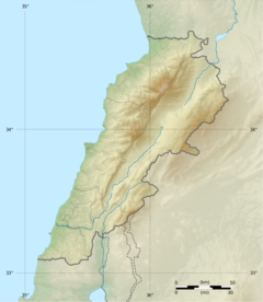
Zahrani River (Arabic: نهر زهراني) is a river in Southern Lebanon. It is located south of Sidon.[1] Zahrani (زهراني) is the adjective form of the noun Zahran (زهران), which means flowering or blossoming in Arabic. This river irrigates most of Jabal Rihane and Nabatiyeh. It is considered one of the most important rivers of the Jabal Rihane area.[2] Its mouth is located north of the mouth of the (longer) Litani River.[3][4]
Zahrani Bridge crosses over this river.[5]
References
- ^ "Lebanese rivers". www.sporcle.com.
- ^ "Water". November 17, 2007.
- ^ "The Dead Sea Transform in Lebanon". www.see.leeds.ac.uk.
- ^ Google Maps
- ^ "ZAHRANI bridge-ZAHRANI RIVER- SOUTH LEBANON (2006)".

