Beer Lane
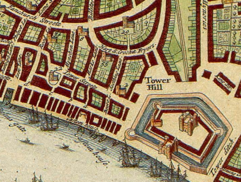
Beer Lane (originally Bear Lane or Beare Lane) was a short street of the City of London from at least 1570 to 1910. It ran from almost the east end of Great Tower Street (latterly № 37), from opposite Seething Lane, to 53 Lower Thames Street, opposite the east warehouse block of Custom House.[2][3] John Stow (born 1525) wrote "At the east end of Tower Street, on the south side, have ye[a] Beare Lane, wherein are many fair houses, and runneth down to Thames Street."[4]
Opposite its lower end, on the Tideway's city bank, was Bear Quay, later Great Bear Quay and Little Bear Quay, principally used for the landing and shipment of corn.[2] Edward Hatton, in his A New View of London (1708) wrote "Here is a very great market for wheat and other sorts of grain, brought hither from the neighbouring counties".[5]
In the early twentieth century, the lane hosted the office-warehouse of H.C. König & Co. from where they distributed their Westphalian Gin.[6]
See also[edit]
- Beer Street and Gin Lane (fictional)
References and footnotes[edit]
- ^ City of London and its Environs, sheet 36, Ordnance Survey, 1869-1880
- ^ a b Wheatley, Henry B. (1891). London past and present: Its history, associations, and traditions. Vol. I. London: John Murray. Cambridge University Press reprint, 2011. p. 139. ISBN 9781108028066.
- ^ Lockie, John. (1810). Lockie's Topography of London. London: Couchman.
- ^ Stow, p.51 quoted in Wheatley, 1891, p. 139.
- ^ Hatton, Edward. (1708) A New View of London. John Nicholson. Volume II, p. 784. Quoted in Wheatley, 1891, p. 139.
- ^ Advertising in the Royal Colonial Institute Year Book 1914 Royal Colonial Institute, London, 1914, p. v.
- ^ the pronunciation is that for the English word the as use of "th" for the ð sound (phoneme) used to be an alternative orthography to ye


