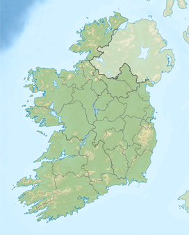
Carroll's Hill
Appearance
| Carroll's Hill | |
|---|---|
| Highest point | |
| Elevation | 482 m (1,581 ft) |
| Listing | Marilyn |
| Geography | |
| Location | Offaly, Republic of Ireland |
| Parent range | Slieve Bloom Mountains |
| Topo map | OSi Discovery 54 |
Carroll's Hill is a mountain in Offaly, Ireland. The mountain stands at 482 metres (1,581 ft) high making it the fifth highest mountain in Offaly, the seventh highest mountain in the Slieve Bloom Mountains and the 509th highest summit in Ireland.


