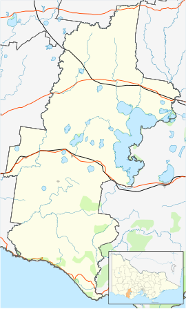
Darlington, Victoria
Appearance
| Darlington Victoria | |
|---|---|
| Coordinates | 38°00′0″S 143°3′0″E / 38.00000°S 143.05000°E |
| Population | 84 (SAL 2021)[1] |
| Postcode(s) | 3271 |
| Location |
|
| LGA(s) | Corangamite Shire |
| State electorate(s) | Polwarth, Lowan |
| Federal division(s) | Wannon |
Darlington is a town in the Western District of Victoria, Australia. The town is in the Shire of Corangamite and on the Hamilton Highway, 194 kilometres (121 mi) south west of the state capital, Melbourne. Mount Emu Creek passes through the town.[2]
The town has one remaining pub, the Elephant Bridge Hotel. The Elephant Bridge Hotel is believed to be one of the oldest continuously licensed pubs in Victoria. The kitchen and cellar were built in 1842 and the rest of the building some years later. The pub claims to have four resident ghosts.[3]
References
- ^ Australian Bureau of Statistics (28 June 2022). "Darlington (Vic.) (suburb and locality)". Australian Census 2021 QuickStats. Retrieved 28 June 2022.
- ^ Burin, Margaret. "Two towns, one creek: burst banks from Skipton to Darlington". ABC Ballarat. Australian Broadcasting Corporation. Retrieved 5 September 2012.
- ^ Reading, Lyndal (26 January 2010). "Victoria's most-haunted pub". Weekly Times. Retrieved 5 September 2012.


