Eggleston, Virginia
Appearance
Eggleston, Virginia | |
|---|---|
| Coordinates: 37°17′14″N 80°37′21″W / 37.28722°N 80.62250°W[1] | |
| Country | United States |
| State | Virginia |
| County | Giles |
| Elevation | 1,821 ft (555 m) |
| Population (2020) | |
| • Total | 143 |
| Time zone | UTC-5 (Eastern (EST)) |
| • Summer (DST) | UTC-4 (EDT) |
| ZIP code | 24086 |
| Area code | 540 |
| GNIS feature ID | 1494216[1] |
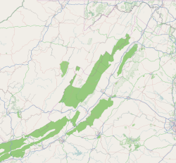
Eggleston is an unincorporated community and census-designated place in Giles County, Virginia, United States. Eggleston is located along the New River, 2.5 miles (4.0 km) south-southeast of Pembroke. It was first listed as a CDP in the 2020 census with a population of 143.[2]
Eggleston has a post office with ZIP code 24086.[3][4]
It lies at an elevation of 1,821 feet.[1]
References
- ^ a b c d "Eggleston Census Designated Place". Geographic Names Information System. United States Geological Survey, United States Department of the Interior.
- ^ "Eggleston CDP, Virginia". United States Census Bureau. Retrieved September 16, 2022.
- ^ United States Postal Service (2012). "USPS - Look Up a ZIP Code". Retrieved 2012-02-15.
- ^ "Postmaster Finder - Post Offices by ZIP Code". United States Postal Service. Retrieved August 21, 2012.


