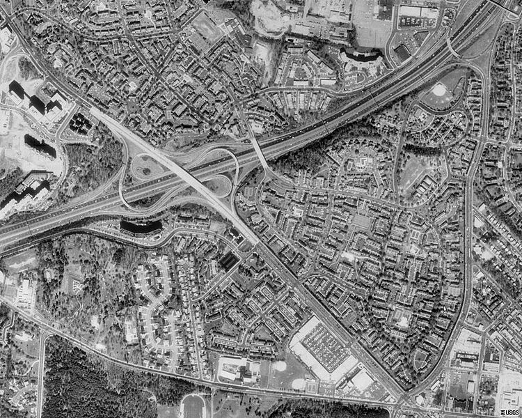
File:Fairlington - 1988 USGS Satellite Image.jpg
Appearance

Size of this preview: 750 × 600 pixels. Other resolutions: 300 × 240 pixels | 600 × 480 pixels | 1,000 × 800 pixels.
Original file (1,000 × 800 pixels, file size: 220 KB, MIME type: image/jpeg)
Summary
[edit]| Description |
Fairlington, Arlington, Virginia | ||
|---|---|---|---|
| Source |
1988 USGS aerial photograph | ||
| Date | |||
| Author |
| ||
| Permission (Reusing this file) |
See below.
|
Licensing
[edit]| This image is a work of a United States Geological Survey employee, taken or made as part of that person's official duties. As a work of the United States Government, the image is in the public domain in the US. For more information, see the USGS copyright policy. See Wikipedia:Public domain and Wikipedia:Copyrights for more details. |
 | This file is a candidate to be copied to Wikimedia Commons.
Any user may perform this transfer; refer to Wikipedia:Moving files to Commons for details. If this file has problems with attribution, copyright, or is otherwise ineligible for Commons, then remove this tag and DO NOT transfer it; repeat violators may be blocked from editing. Other Instructions
| ||
| |||
File history
Click on a date/time to view the file as it appeared at that time.
| Date/Time | Thumbnail | Dimensions | User | Comment | |
|---|---|---|---|---|---|
| current | 03:20, 12 September 2006 |  | 1,000 × 800 (220 KB) | AjaxSmack (talk | contribs) |
You cannot overwrite this file.
File usage
The following pages on the English Wikipedia use this file (pages on other projects are not listed):
