
File:Mouth of Humboldt Bay from King Salmon CA.jpg
Size of this preview: 800 × 600 pixels. Other resolutions: 320 × 240 pixels | 640 × 480 pixels | 1,024 × 768 pixels | 1,280 × 960 pixels | 2,560 × 1,920 pixels | 3,072 × 2,304 pixels.
Original file (3,072 × 2,304 pixels, file size: 4.82 MB, MIME type: image/jpeg)
| This is a file from the Wikimedia Commons. Information from its description page there is shown below. Commons is a freely licensed media file repository. You can help. |
Summary
| Description |
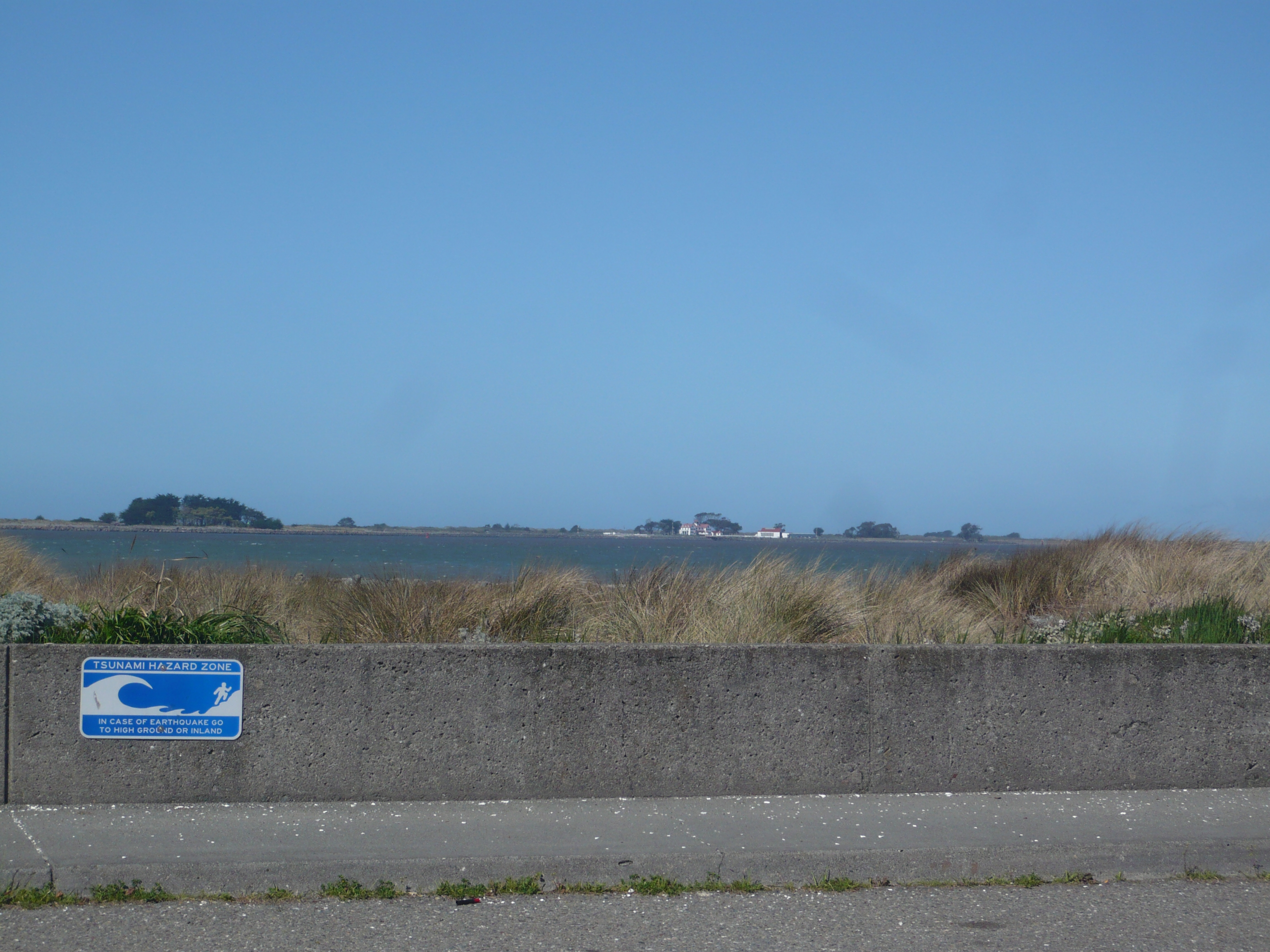
English: Humboldt Bay at the shore of Buhne Point, King Salmon, California. The view shows a tsunami evacuation sign in foreground, the mouth of Humboldt Bay to the Pacific Ocean in mid distance and to the right distance, the Humboldt Bay Lifesaving Station on the Samoa Peninsula. |
||
| Date | |||
| Source | Own work | ||
| Author | Ellin Beltz | ||
| Permission (Reusing this file) |
|
| Object location | | View this and other nearby images on: OpenStreetMap |
|---|
File history
Click on a date/time to view the file as it appeared at that time.
| Date/Time | Thumbnail | Dimensions | User | Comment | |
|---|---|---|---|---|---|
| current | 03:10, 22 March 2014 | | 3,072 × 2,304 (4.82 MB) | Ellin Beltz | {{Information |Description ={{en|1=Humboldt Bay at the shore of Buhne Point, King Salmon, California. The view shows a tsunami evacuation sign in foreground, the mouth of Humboldt Bay to the Pacific Ocean in mid distance and to the right distance,... |
File usage
The following pages on the English Wikipedia use this file (pages on other projects are not listed):