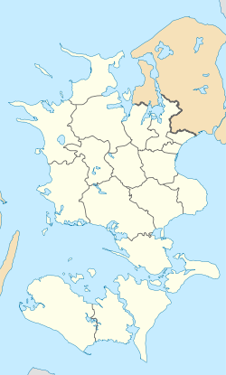
Forlev-Vemmelev
Appearance
Forlev-Vemmelev | |
|---|---|
Town | |
 Vemmelev Church | |
| Coordinates: 55°22′22″N 11°15′36″E / 55.37278°N 11.26000°E | |
| Country | Denmark |
| Region | Region Zealand |
| Municipality | Slagelse |
| Area | |
| • Urban | 1.7 km2 (0.7 sq mi) |
| Population (2022)[1] | 2,571 |
| • Urban density | 1,487/km2 (3,850/sq mi) |
| Time zone | UTC+1 (CET) |
| • Summer (DST) | UTC+2 (CEST) |
| Postal code | 4241 |
Forlev-Vemmelev, also known under the individual names Forlev and Vemmelev, is a town in Zealand, Denmark. It is located in Slagelse Municipality. The two towns of Forlev and Vemmelev have grown together, with the merged town known under all three names. The Statistics Denmark refer to the town as Forlev while Slagelse Municipality refer to it as Vemmelev. Forlev-Vemmelev is located 5 km south-west of Slagelse and 8 km north-east of Korsør.
The northern part of the town is Forlev and the southern part is Vemmelev. The E20 motorway cuts through the two parts of the town, with a bridge connecting them.
History
Between 1856 and 1962 a train station was located in Forlev. Forlev was a stop on the West line. [2]
Notable residents
- Christian "Klumben" Andersen (born 1987), musician
References
- ^ BY3: Population 1st January by urban areas, area and population density The Mobile Statbank from Statistics Denmark
- ^ Danskejernbaner.dk "Forlev Station" Retrieved 8 September 2020


