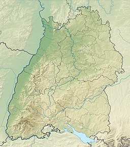
Mindelsee
Appearance
You can help expand this article with text translated from the corresponding article in German. (March 2021) Click [show] for important translation instructions.
|
| Mindelsee | |
|---|---|
 | |
| Coordinates | 47°45′16″N 9°01′20″E / 47.75444°N 9.02222°E |
| Basin countries | Germany |
| Surface area | 1.02 square kilometres (0.39 sq mi) |
| Max. depth | 13.5 metres (44 ft) |
| Surface elevation | 409 metres (1,342 ft) |
The Mindelsee is a Proglacial lake in Radolfzell, Baden-Württemberg Germany. Its current area is approximately 115 hectares (280 acres) with an average depth of 8 metres (26 ft). it extends approximately 2,200 metres (1.4 mi) in a northwest-southeast direction with a width of around 570 metres (1,870 ft).
The lake is located on Bodanrück peninsula, which separates Upper Lake Constance from Lower Lake Constance.
External links
[edit]- Lake description (in German)

