Mukuku
Mukuku | |
|---|---|
Village | |
| Coordinates: 5°55′57″S 19°00′01″E / 5.9325°S 19.0004°E | |
| Country | Democratic Republic of the Congo |
| Province | Kwilu Province |
| Territory | Gungu |
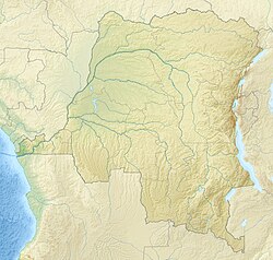
Mukuku is a village in Kwilu Province of the Democratic Republic of the Congo.
Location[edit]
Mukuku is in Gungu Territory, about 40 kilometres (25 mi) southwest of the town of Gungu in Kwilu Province.[1] The Köppen climate classification is Aw : Tropical savanna, wet.[2]
Historical note[edit]
In 1931 there were widespread disturbances in the Kwango District of Congo-Kasaï, which the Ministry of Colonies later attributed to new administrative structures, availability of Force Publique units and overreaction by administrators.[3] At Mukuku in August 1931 troops killed 56 people in a single encounter. Word of the violence spread, and villagers fled before the columns reached them, leading to optimism among the authorities that the rebellion was calming down.[4]
Notes[edit]
- ^ Node: Mukuku (5201924350).
- ^ Mukuku, Kwilu ... mindat.
- ^ Thomas 2012, p. 306.
- ^ Thomas 2012, p. 307.
Sources[edit]
- "Mukuku, Kwilu, Democratic Republic of the Congo", mindat.org, retrieved 2021-10-18
- "Node: Mukuku (5201924350)", OpenStreetMap, retrieved 2021-10-18
- Thomas, Martin (20 September 2012), Violence and Colonial Order: Police, Workers and Protest in the European Colonial Empires, 1918-1940, Cambridge University Press, ISBN 978-0-521-76841-2, retrieved 16 August 2020

