
Sarju Sagar Dam
| Sarju Sagar Dam सरजू सागर बांध | |
|---|---|
 | |
 Location of Sarju Sagar Dam सरजू सागर बांध in Rajasthan  Sarju Sagar Dam (India) | |
| Official name | Kot Dam or Kot Bandh |
| Country | India |
| Location | Kot, Jhunjhunu |
| Coordinates | 27°39′2″N 75°25′10″E / 27.65056°N 75.41944°E |
| Purpose | Water Storage, Irrigation |
| Status | Operational |
| Opening date | 1924 |
| Dam and spillways | |
| Type of dam | Masonry with embankment main sections |
| Height | 7.6 m (25 ft) |
| Length | 80 m (260 ft) |
Sarju Sagar Dam also known as Kot Dam is a dam across the Shakambhari Hills. It is situated 13 kilometres from Udaipurwati town in Jhunjhunu, Rajasthan, India.[1] The dam was constructed between 1923 and 1924 for the purposes of Irrigation and Water Storage.[2][3]
A river flows from it that's name is "Saptrupi river" , this flows from Kot dam to udaipurwati
Gallery[edit]
Sarju Sagar Dam
-
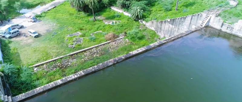 Aerial View of Dam.
 -
 Aerial View of Dam.
 -
 Aerial View of Dam.
 -
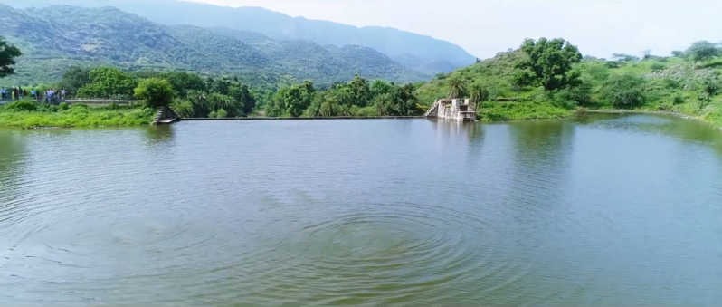
 Water Storage inside the Dam.
 -
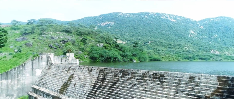 Front View of Dam from Position 1
 -
 Front View of Dam from Position 2
 -
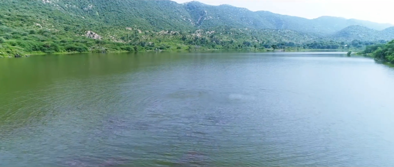
 A panoramic view looking 180 degrees around the Sarju Sagar Dam in 2019


Nearest places[edit]
- Shakmbhri Mata mandir, Shakmbhri, Jhunjhunu
- Dhabkyari Balaji, Kot
- D.D. Market, Kot
- Sachin general Store
- Bhargaw CSC centre
- Bhargaw e- Mitra
References[edit]
- ^ "Kot Dam". Retrieved 8 September 2018.
- ^ "Sarju Sagar Dam - Jhunjhunu Edition". Retrieved 8 September 2018.
- ^ "कोट बांध में 4 फीट पानी और आया". Dainik Bhaskar (in Hindi). Retrieved 8 September 2018.