The Phallus
| The Phallus | |
|---|---|
 View of the formation | |
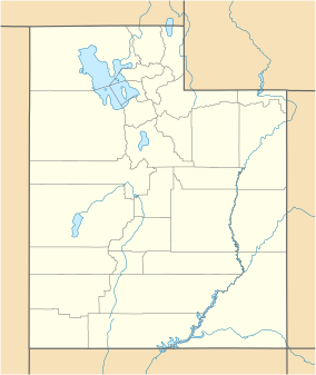
Location in Utah | |
| Location | Arches National Park, Utah |
| Coordinates | 38°40′59″N 109°35′05″W / 38.6830°N 109.5846°W |
| Governing body | National Park Service |
The Phallus is a rock formation (pillar) in Grand County, Utah, in the United States.[1] It is within the Arches National Park.[2]

The Phallus stands 100 feet (30 m) tall, and was named from the fact it resembles a phallus.[3] A climbing route has been published in guidebooks.[3]
See also[edit]
References[edit]
- ^ U.S. Geological Survey Geographic Names Information System: The Phallus
- ^ Bjornstad, Eric (1 January 1996). Desert Rock I: Rock Climbs in the National Parks. Globe Pequot Press. p. 149. ISBN 978-0-934641-92-0.
- ^ a b Green, Stewart M. (18 December 2012). Rock Climbing Utah. Rowman & Littlefield. p. 25. ISBN 978-0-7627-9284-9.
38°41′00″N 109°35′04″W / 38.68333°N 109.58444°W

