Toola
تولہ | |
|---|---|
Village | |
| Tola | |
| Coordinates: 32°18′04″N 75°04′14″E / 32.30111°N 75.07056°E | |
| Country | |
| Province | Punjab |
| District | Narowal District |
| Tehsil | Shakargarh Tehsil |
| Area | |
| • Total | 200 km2 (80 sq mi) |
| Time zone | UTC+5 (PST) |
| Postal code span | |
| Area code | 0542 |
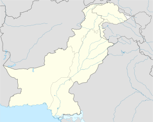
Toola (Urdu: تولہ ) is a village in the administrative Tehsil Shakargarh, District Narowal Pakistan. The village is located between 2 tehsils of Narowal city Zafarwal and Shakargarh.
Demographics[edit]
The area of the village is approximately 200 square kilometers. The village has a Primary School for Girls and Boys[1] separately organized by the Government of the Punjab.[2]
Health Unit[edit]
The village Toola has the one basic Health unit run and organized by the Government of Punjab, Pakistan.
Education[edit]
Village Toola has two elementary schools for boys and girls separately, Government Elementary School for Boys(I to VIII grade) and Government Elementary School for Girls(I to VIII grade) organized by the Government of the Punjab.
References[edit]
- ^ "Tutor Finder - Government Primary School PINDI MANA, CHATRANA". www.tutorfinder.com.pk. Retrieved 2015-11-17.
- ^ "Government Primary School PINDI MANA, CHATRANA, SHAKARGARH". www.schoolinglog.com. Retrieved 2015-11-17.

