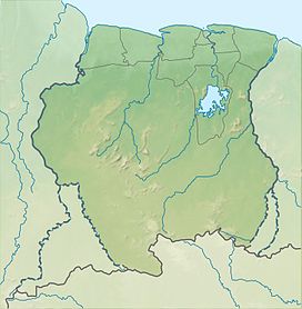
Hendriktop
Appearance
| Hendriktop | |
|---|---|
| Highest point | |
| Elevation | 908 m (2,979 ft) |
| Coordinates | 4°11′40″N 56°11′46″W / 4.19444°N 56.19611°W |
| Geography | |
| Location | Sipaliwini District, Suriname |
| Parent range | Emma Range |
Hendriktop is a mountain in Suriname at 908 metres (2,979 ft). It is part of the Emma Range and is located in the Sipaliwini District.[1] The mountain is named after Hendrik of the Netherlands. The mountain was first climbed by A. van Stockum in 1902.[2]
References
- ^ De Gids (1903). "De Gids. Jaargang 67". Digital Library for Dutch Literature (in Dutch). Retrieved 22 June 2020.
- ^ "Neerlandia. Jaargang 17". Digital Library for Dutch Literature (in Dutch). 1913. Retrieved 22 June 2020.

